- Where is the Hume and Hovell Track?
- Is the Hume and Hovell Track all firetrail?
- Section Hike : Talbingo to Tumbarumba
- How did the Hume and Hovell Track come about?
- Talbingo to Buddong Hut
- Buddong Hut to Paddys River Dam
- Paddys River Dam to Tumbarumba
- Did you know?
- Helpful links - Hume and Hovell Track
- Local products & produce along the Hume and Hovell Track
Where is the Hume and Hovell Track?
If you say the word, ‘Snowys’, most Aussies will immediately think of ski resorts or the Main Range megalith. Classic hiking icons of Feathertop or Bogong; Kosciusko or Twynam have been in the spotlight for many years, whilst a quiet corner of the region has been developing an impressive multi-day bushwalking track, away from the ridges and breathless ascents of it’s brash eastern neighbour. Stretching 426 kms from Yass to Albury, the Hume and Hovell Track is a route I’ve never been able to picture exactly where it goes. It calls the green space between the Great Dividing Range to the east and the Hume Highway to the west home, hiding itself within a mix of State Forest, Crown Land, private land, local Council and National Park.
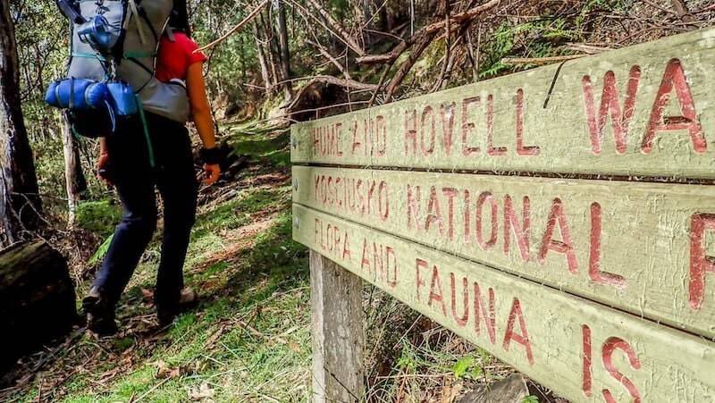
On it’s meandering journey south west, it marches through the Yass Valley, brushes past the best of the thriving Riverina communities of Tumut, Tumbarumba and Batlow (with their excellent local produce – see below – including local beer and one of Australia’s best Chardonnays) and many other small towns and villages, before shadowing the Murray River towards Lake Hume, arriving in Albury.
Is the Hume and Hovell Track all firetrail?
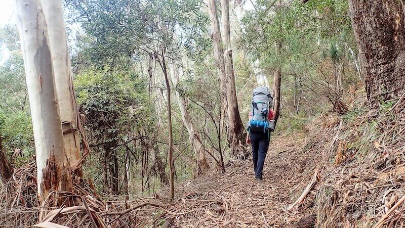
It’s here that I have a confession to make and an apology to offer. Somewhere along the line of my bushwalking career, I’d heard rumours of the Hume and Hovell track and to my detriment, believed them. The impression I received was that it was mostly firetrail and not that interesting. I was wrong.
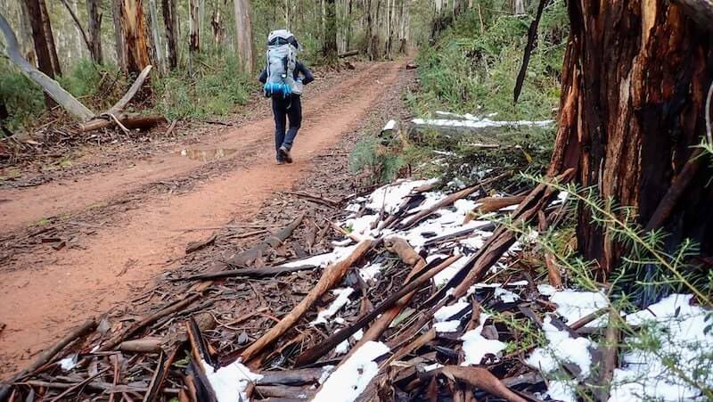
It’s true to say that beauty is in the eye of the beholder and when it comes to what people are drawn to when walking in nature, the choice is endless. One of the things that I look for in a multi-day bushwalking experience is diversity. I want each day to be different. Different views, different ecosystems, different plant life, different track styles. Mix it up and surprise me around every corner. When it comes to firetrails, I welcome them when they bring the opportunity to stretch my legs and switch-off from the mental focus that is needed on a technical single-track or rock scramble.
Section Hike : Talbingo to Tumbarumba
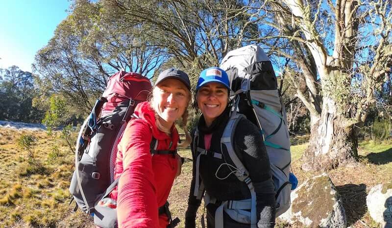
Not having 21 days up my sleeve to undertake the full length of the track and enjoy all 20 campsites, I’ve chosen a three day section that sees me bookend my trip with a night in Talbingo at the start and a wash up at the end (with a good meal) in Tumbarumba.
Renowned as being one of the best sections of the track, it demonstrates the flexibility and options available to link up local townships and communities, perfect for re-supply, real beds and a hot shower, whilst choosing a duration to suit all types of walkers.
Talbingo (population 250), like its eastern cousin, Jindabyne, was originally a tiny settlement on the Tumut River that was flooded to make way for the Jounama Dam, part of the iconic Snowy-Hydro Scheme in 1968. Although the Hume and Hovell track passes by on the other side of the Jounama Pondage, with clever transfer arrangements, it made for a good launch point from our AirBnB in town. Rumours of a proposed footbridge across the Tumut River would make a genius link to the town and no doubt improve the walker experience.
The presence of Snowy-Hydro and its impact on the region, follows us for our first couple of hours of walking. The Tumut 3 Power Station and it’s six elephant-trunk like pipes cascade down the hill towards the Pondage, whilst it’s hungry power line tendrils send forth it’s plunder.
Underfoot, earthy single track, ripe with forest fungus, leads us past the first official campsite we encounter, the Benjamin Smith campsite. A grassy island in the middle of the forest ocean, with a picnic shelter, toilet, fireplace and water tank it’s cleverly located away from a trail-head, so less prone to non-walking visitors.
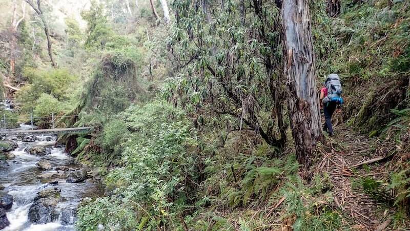
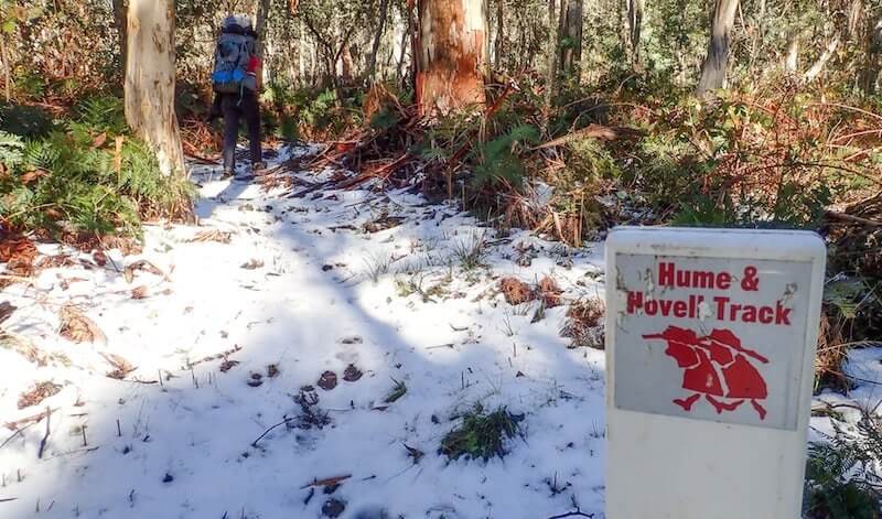
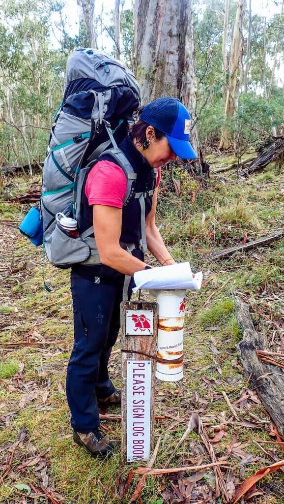
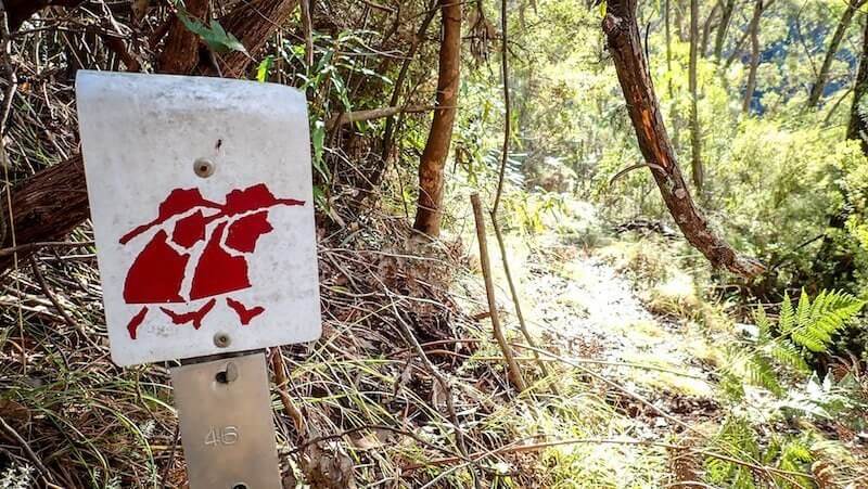
From forest to farmland, gully to gorge, the white track markers (with a logo that represents Hamilton Hume and William Hovell from their 1824 expedition) clearly show the way. In contrast to Hume and Hovell, my bushwalking buddy and I are getting along well and there are times when our minds and chatter wander. Distracted, I realise that we really should pay more attention to those little signs! Such is the way of a walking holiday and this certainly feels like it.
How did the Hume and Hovell Track come about?
Whenever I walk a track, I can’t help but think about the people that made it. From the seed of an idea in the seventies, to the start of construction in the eighties, it was a Bicentennial grant of $1.3 million that drove through much of the work. Overall, about 50% of the 426 kms is on specially constructed single track, whilst the rest is along fire and management trails. The intensive research that went into the planning stages ensured that most of the track is within 5 km of the actual route that Hume and Hovell took. The section from Talbingo to Tumbarumba is closer to 85% single track and 15% firetrail.
Talbingo to Buddong Hut
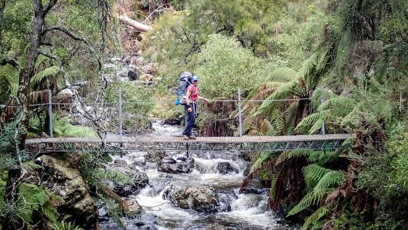
It isn’t long after leaving the shores of the Pondage, a picture-perfect spot for morning tea, that we begin steadily and gently to ascend single track through dry sclerophyll forest, entering Kosciuszko National Park. Here, with no evidence of the lower farmland introduced Blackberries (which I’m sure would be delicious and a handy hiking snack in season!) the song of running water from Buddong Creek starts to call. More cascade than falls, Buddong is our constant friend this day with lunch taken near the river crossing by one of 100 bridges built specifically for the track. I catch myself thinking I can hear music, but it is merely the thump and trill of water pounding on rock.
Fueled by lunch, we begin the 300 metre ascent (over 1.5 kms) to arrive at the Buddong Falls Campsite. Located on a track junction beside a firetrail, we elect to continue on to Buddong Hut in search of solitude.
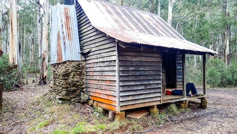
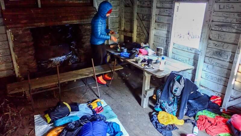
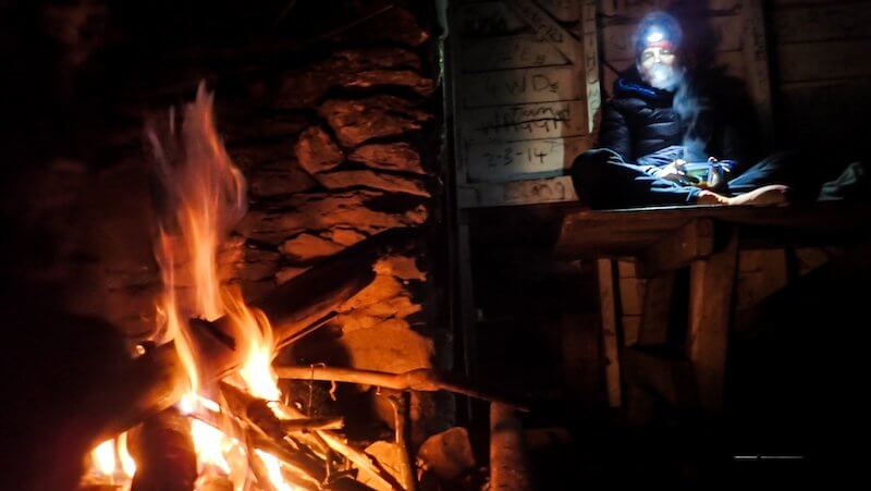
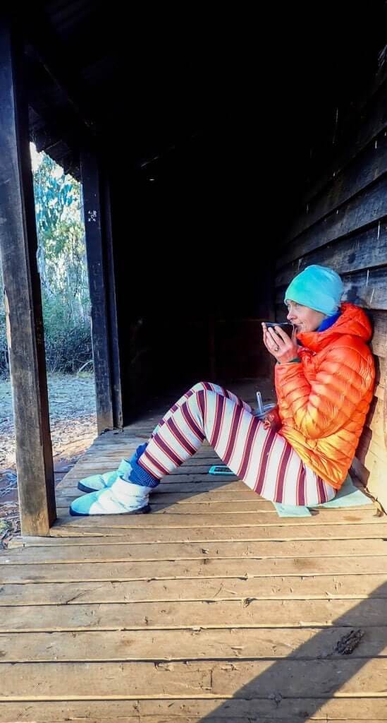
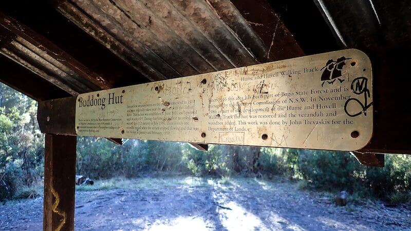
Built in 1925 to house Water Resources personnel, it’s our cosy home for the night as temperatures drop below zero and the fireplace draws us in. Unfortunately, like many accessible mountain huts, it’s wallpapered with graffiti and we spend some time removing rubbish and tidying up. Again, as I lay down, strains of acoustic music seemed to drift up from Buddong Creek, only metres from the hut. I fall asleep to the lullaby of the forest.
Awoken by the sound of rain on the corrugated iron roof, I’m surprised to push open the wooden shutter to find deep blue skies and no sign of cloud. The chill rushes in and I see that the rain is actually water, released from its frozen state, dropping from the frosted towering trees above. The sun catches the droplets as they fall to the ground.
Buddong Hut to Paddys River Dam
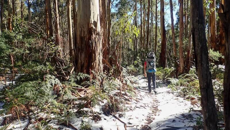
Pressing ourselves into the day, we hit the trail and head for the highest part of the entire track at 1230m. With childish delight, we built the world’s smallest snowman (8cm) at the first patch of white, without realising we would spend many hours later today crunching our way through the remains of the recent snow dump, with up to 5 cm blanketing the ground. Fitting for the first day of Winter!
Silence. Silence and crunch of our feet through the bracken fern-fringed snowy track. This could be my ‘walking day of the year’. Magical, in a children’s storybook kind of way, there’s no sound of bird life, no wind, just deep blue skies and giant trees hugging us as we walk along with a sense of awe. A cathedral to the majesty and wonder of life.
It’s a late lunch when the silence is broken by the hum of trail bikes, signalling once again, that we’ve moved away from the deep forest that single track brings and are getting closer to fire trails and other people. We haven’t seen anyone for almost two days, however we’re coming towards our second camp at Paddy’s River Dam – a popular spot for four wheel driving and camping.
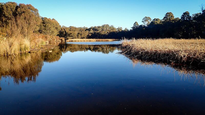
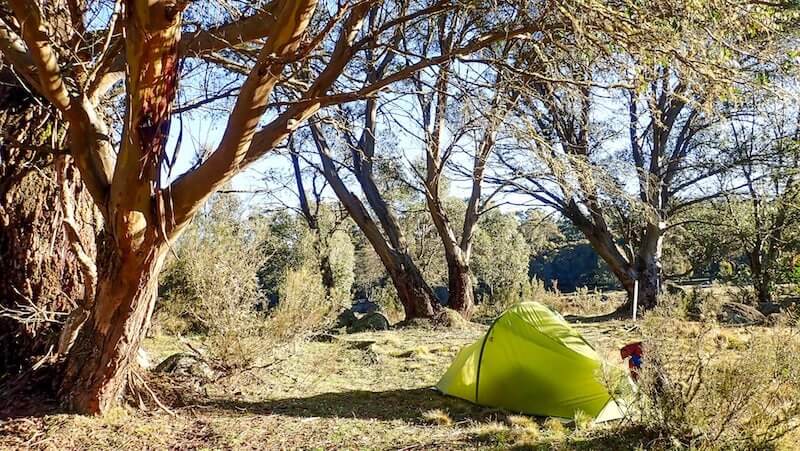
It’s here that the smart design of this section of the track reveals itself. The track markers lead past a toilet, across a small bridge and to a lovely north-east facing grassy campsite, accessible only to walkers. The car campers and 4WD-ers are content on the other side of the mirror-like dam, their voices only drift across occasionally.
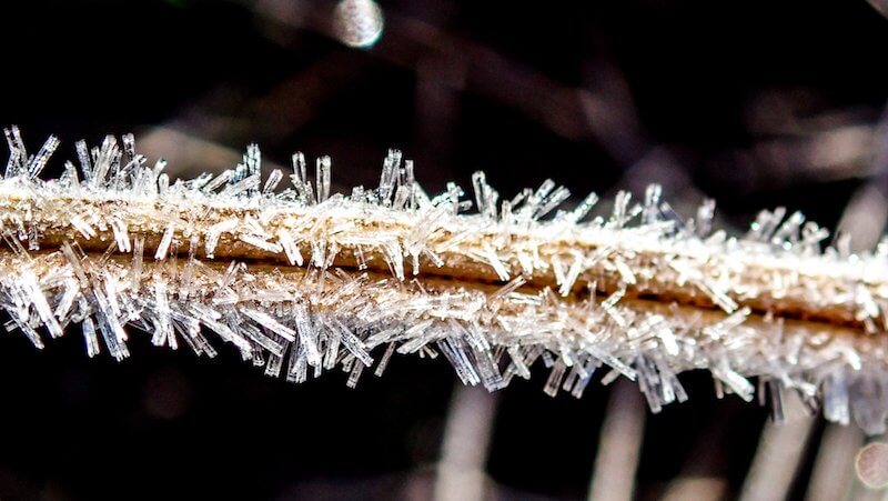
Up here at 1160 metres above sea level, the overnight temps drop to around -6 bringing an ice-crusted Narnia landscape. As the sun rises before us, we’re surrounded by crystal tipped tussock grass, glinting their rainbow-colour spectrum.
Paddys River Dam to Tumbarumba
I fight every winter campers struggle of deciding whether to wait and dry the tents or hit the track. But with 17.5 kms ahead of us and a transfer pickup scheduled for 2 pm, we give in and pack our damp tents away, ice falling off them as they collapse to the ground.
Skirting the dam towards the silent car-campers, we plunge into the forest (once again on single track) for what becomes our most diverse day in terms of changing landscapes. Bago State Forest is famous for its Red Stringybark and Peppermint Box, but it’s the giant Alpine Ash (Eucalyptus delegatensis) with its common name that never fails to make me smile, Woollybut. Known to grow to 90 metres in height we crane our necks to see their tops and stretch our arms to estimate their girth – some are up to 8 metres around their base.
All this size, silence and snow conspires to remind me why I love bushwalking in Australia. A connection to all living things, being humbly reminded of my place amongst it all and the chance to experience it.
The stringy bark decorations of the Alpine Ash begin to change as the trail starts to descend around the headwaters of East Burra Creek, through wet sclerophyll forest. The crunch of an icy single track gives way to tiny sections of muddy, fern framed gullies surprising us with what looked like micro-pockets of rainforest.
Pressing on towards our planned 4WD pickup at Hussels Mill, near Tumbarumba, I feel like the branches of these wondrous giant trees are reaching out to hold me back. I don’t want to break free from their clutches, but our short three days has come to an end – the perfect teaser for a longer journey along the Hume and Hovell Track.
Did you know?
Hume and Hovell’s expedition in 1824 was to look for grazing land and solve the mystery of where the western rivers in NSW flowed. Unlike the icon on the Hume and Hovell track markers, Hamilton and William were not the best of friends and disputes were common.
Whilst the track is managed by Crown Lands, the responsibility of upkeep and maintenance is overseen by Snowy Valleys Council, with much of the physical trackwork carried out by low-risk inmates from the Mannus Correctional Centre.
The Hume and Hovell Ultra is an annual trail running event, with races varying from 22 km to 100 mile and starting from the Henry Angel Track head near Tumbarumba.
This article originally appeared in Great Walks Magazine. Caro travelled courtesy of Snowy Valleys Tourism and Destination NSW.
Helpful links – Hume and Hovell Track
- Hume and Hovell Track – official website (including maps and gpx tracks)
- Tumbarumba Touring Company – provided our transfer from Tumbarumba back to Talbingo
- Hudson Cottage, Talbingo – we stayed at this cute and cosy AirBnB before the start of the walk
- Tumbarumba Motel – this is where we stayed at the end, walking distance from the pub for dinner
- What to take – packing list for overnight hiking
Local products & produce along the Hume and Hovell Track
- Delicious wine (especially the Chardonnay) from Courabyra Wines and Johansen Wines
- Great beer (if you like ginger beer, you’ll love their ‘Ginja Ninja’) from Tumut River Brewing Co (also great spot for lunch in Tumut)
- Sweet as Cider from The Apple Thief
- Jams, honey and beeswax products (great wax wraps) from Batlow Bees n’ Berries
- Marmalade like Nanna used to make from Clearstream Farm Products
- The freshest and tastiest apples you’ve ever eaten from Wilgro Orchards
- Local hazelnuts like Nutella died and went to heaven from Happy Wombat Hazelnuts
- Plus lots of other local products and treats from Simply Wholesome, Tumut


