2 day hike from Falls Creek
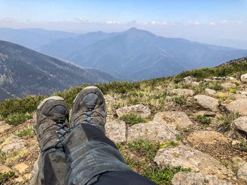
Is it possible to feel a view? To shift from using our eyes to sense our surroundings, to have it impact on us physically? I believe it is and there’s no better place to experience this feeling than walking to The Fainters via Tawonga Huts in the Victorian High Country.
Where are The Fainters?
I’ve known about the Fainters for a few years, looking across at them from the summit of Mount Feathertop. They’re the twin high points of a long ridge that stretches from the iconic Pole 333, south west of Falls Creek, all the way to Mount Beauty.
Distance
For my two day hike from Falls Creek, I was going to be taking in the best of this ridge, covering 15 kms on day one and a cracking 21 kms on day two.
Start Point and Transfers
This was the first time I’d stayed in Falls Creek and I was blown away by the great hospitality and friendliness of the folk who call it home all year round – there’s about 200 of them. Lisa from Diana Lodge (a hiker and mountain biker herself) was only too happy to drop me to the trailhead about 12 kms out of town on the Bogong High Plains Road – that’s BHP Road to the locals!
I started at the point where the Australian Alps Walking Track crosses BHP, just near Cope Hut. If you’ve never been to Cope Hut before, definitely take the 250 metre side trip to check out this alpine beauty. It’s got a wonderful history and the odd ghost story if you know who to ask.
Track Description
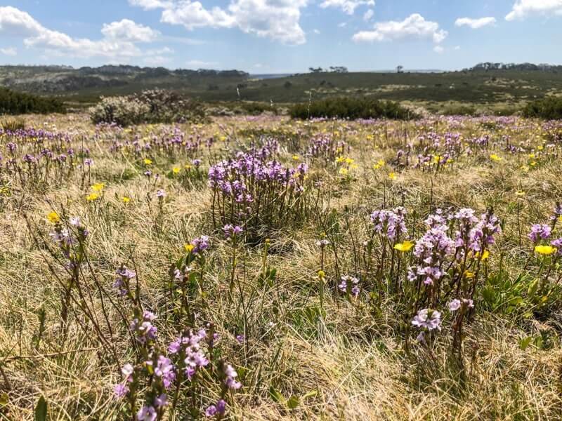
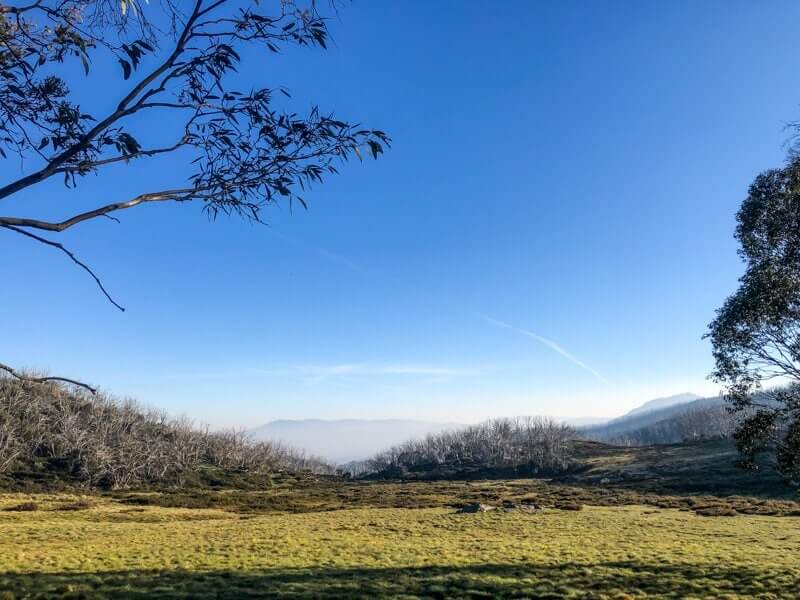
As soon as I stepped onto this well formed single track and started to follow the snow poles, I had the wonderful feeling, like my heart was going to burst through my chest. With big blue skies above, a gentle breeze and perfect walking temperature of 19c, I strode out with my overnight pack and a massive smile on my face.
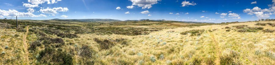
This was to be a gentle day in terms of hills, with not much more than a nudge to speak of being the 278 metres of elevation gain over the full 15 kms. Perfect!
It didn’t take long before the open plains near the BHP gave way to the 5 ways intersection at Cope Saddle Hut. Good map reading skills are key here as my host from Falls Creek had told me of a recent expedition to pick up some lost day walkers who had inadvertently taken the wrong track. Just goes to show the huge variety of day walks that are available in or near Falls Creek!
Now, if you happened to follow along with my Instagram Story of the trip, you may remember a moment on this day, when I got all Julie Andrews and started twirling around and singing at the top of my lungs. I make no apologies. This is what the legendary Pole 333 does to me.
What is Pole 333?
The main cross-country ski routes through the Alpine National Park are marked with a series of consecutively numbered poles. You can judge your distance along a particular track by the number of the pole, with these locations being reflected in the good quality maps of the region, such as the one I used, the SV Maps Bogong Alpine Area bushwalking map.
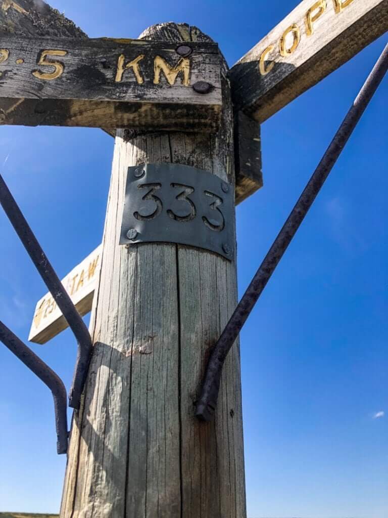
Whilst the Cope Hut Saddle intersection might be more familiar to day hikers or those who prefer to remain near management trails, Pole 333 is a more remote 4-way intersection that can literally change the course of your adventure. It’s the key position in the Bogong High Plains that can send you either south to Mount Hotham, West towards Mount Feathertop and Harrietville, east to Falls Creek or (where I was heading) north, towards Mount Beauty.
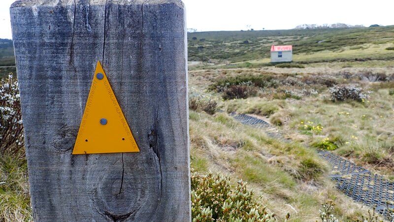
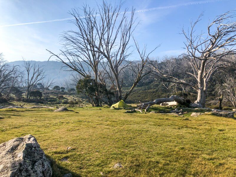
Tawonga Huts Campsite
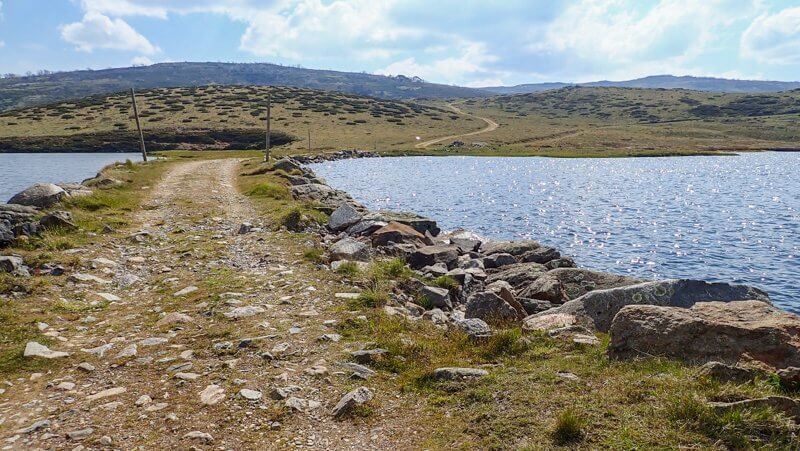
Once I recovered from my musical moment on top of 333, it was simply a matter of following the trail gently down to my campsite 2.5 kms away. The last kilometre of the day was spent on the Fainter Fire Track, a multi-use (walk, MTB, horse) track.
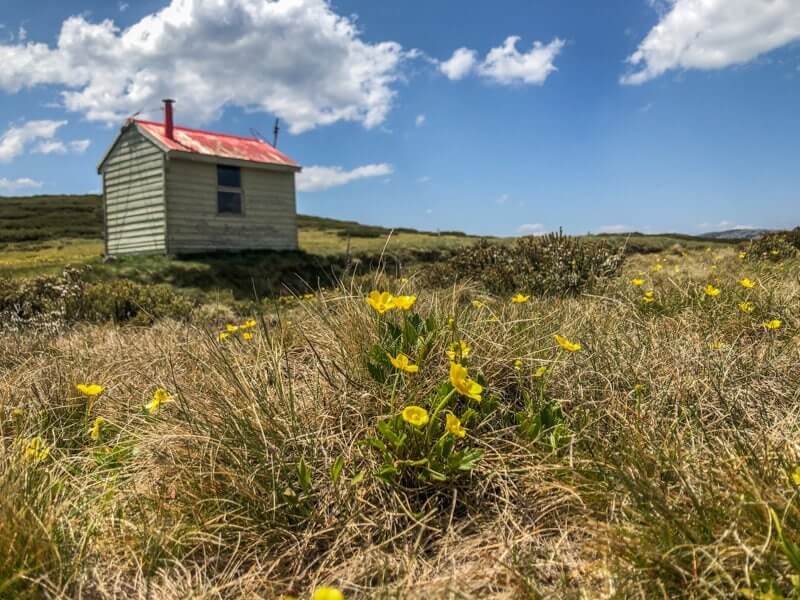
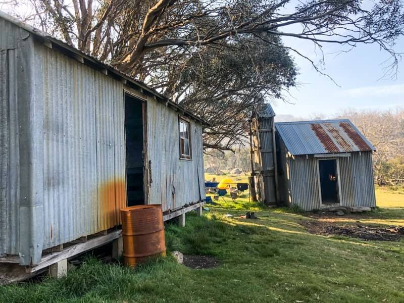
Tawonga Huts is a large, pleasant campsite, held within a protected bowl of a valley at the junction of Tawonga Hut Creek and several side creeks. These huts are in good repair and with two pit toilets (both also in good shape), my bum was spoiled for choice. These facilities, along with proximity to road access at Pretty Valley Pondage (just 5 kms away), means that it sees quite a bit of usage from a variety of school, scouting and commercial tour operators. Thankfully, it looks as though everyone is doing their bit to keep it clean and minimise their impacts. The night I stayed, there was only 1 other group of 3 blokes and we all had a quiet night.
Although there are many places in the high country where I won’t bother treating my drinking water, due to the number of people who use the site (including horse trekking tours), I did drop a few purification tabs into the crystal clear water I gathered from down on the creek.
The Fainters
Waking up to the sound of warbling magpies, I didn’t waste anytime packing up and got away quickly. It was due to be a warmer day and I wanted to get an early start.
From the Tawonga Huts campsite, there’s two options for getting to The Fainters. The main route is to stick to the Fainter Fire Track, which unlike its name suggests, isn’t really a firetrail. You’d be hard pressed to get a vehicle up or down it these days, however mountain bikers (and let’s not forget trail-runners) enjoy this distinct single track, which can be rough in parts.
The other (harder and more navigationally challenging route) is to take the less distinct track to the west and ascend Mount Jaithmathang*, before continuing north along a very faint (some say non-existent) footpad that loops to join back up with the Fire Track about 3 kms from the summit of South Fainter. As I was travelling solo, I decided against the Mount Jaithmathang route and stuck to the navigationally easier one.
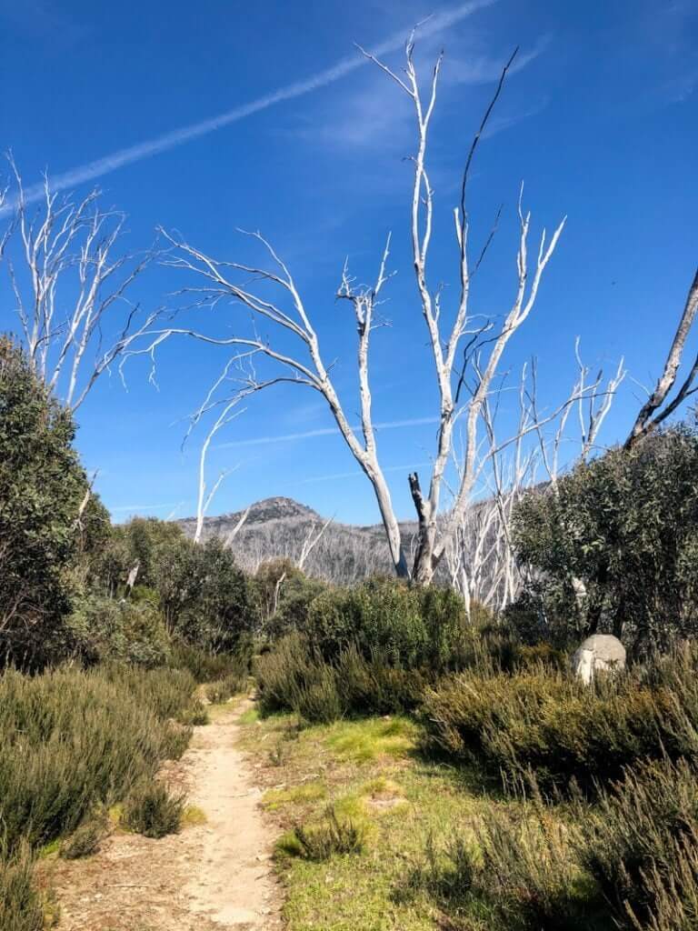
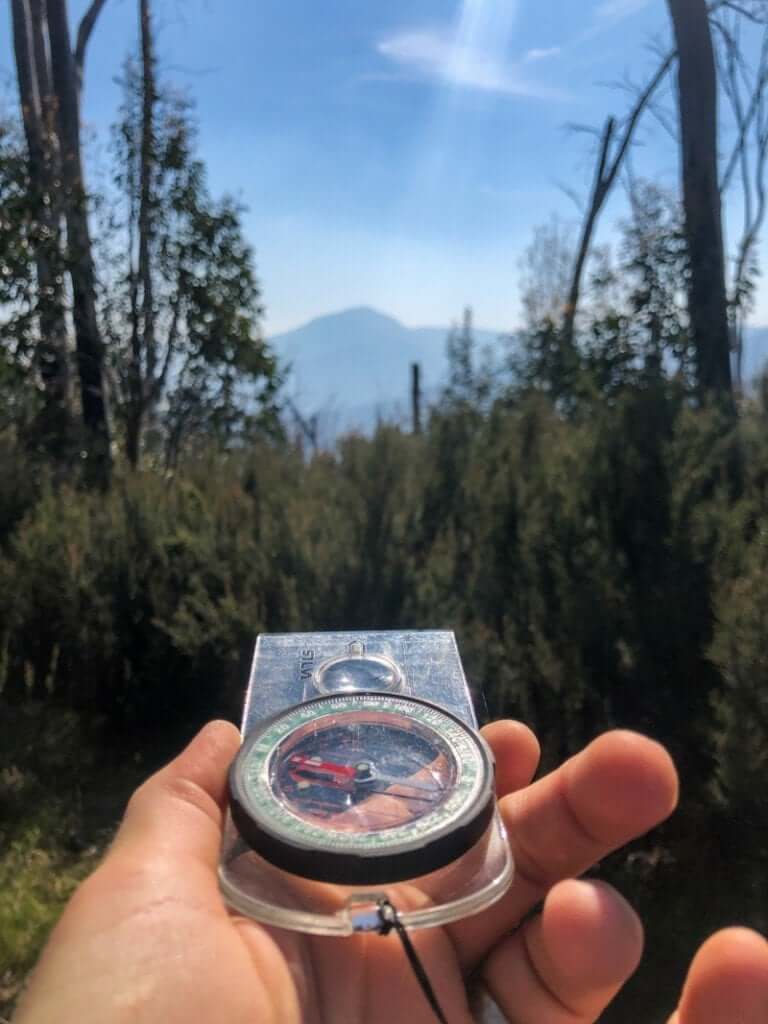
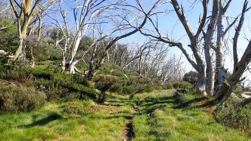
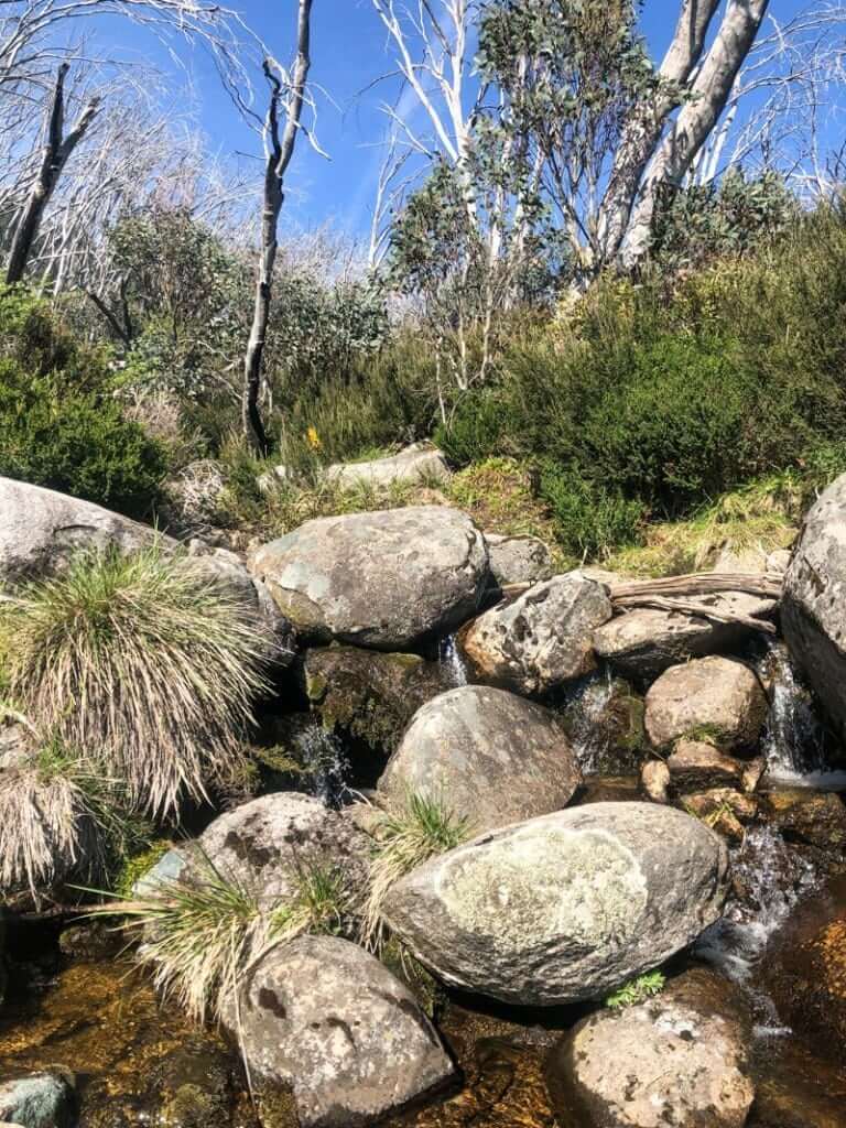
After crossing Tawonga Hut Creek, the track starts to gently ascend through juvenile snow gums and low shrubs by contouring above the creek. I found myself getting distracted by a new skyline to my right (east) with previously unseen mountain tops and knobs. Stopping just near the treeline, I pulled out my compass and took a bearing to work out what that marvellously shaped peak was. Aha! Mount McKay with it’s transmission tower looming over Falls Creek! [Note to self for future walk plans: Although you can drive to the top of Mt McKay, it’s the type of mountain that makes me want to walk up one of the spurs from Pretty Valley Creek below.]
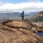
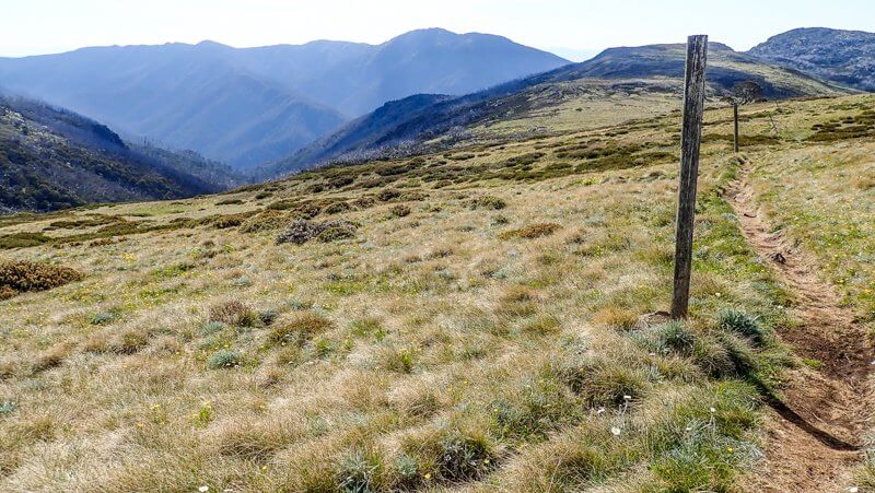
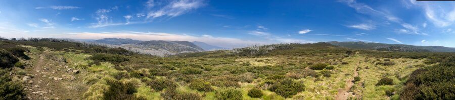
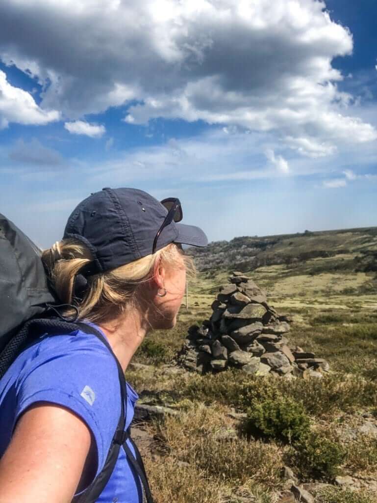
As the track emerges onto the top of the ridge, there’s a sense of being birthed out of the trees and up into big sky country once again. With views for days in all directions, the path towards the fainters is visible as it writes its way up the final 180 metres of vertical ascent over 3.5 kms.
Summit of The Fainters
The final pinch to the summit of both Fainters requires a short off-track section. (No, I don’t use the term bush-bashing.) So I picked a good line and negotiated the scoparia and other ground hugging alpine plants before scrambling over the boulders. What a view! What a place for lunch!
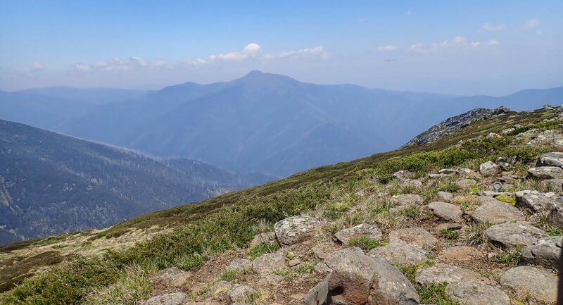
From here, Mount Feathertop and all her ridged relatives were laid out for me.
Places like this are perfect for dreaming. All around me I saw future walk possibilities of spurs that joined both the popular and unpopular. Incredible summer walking and winter snow-shoeing or cross country skiing – this place delivers all year round.
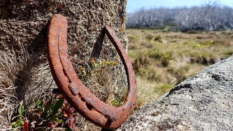
Like a child who doesn’t want to leave the playground (or their iPad), I had to drag myself off the summit to start the descent, returning the way I’d come. Thankful for the streams that bubbled over the fire track on the return, I filled my bottles near the site of the old gold mines.
Passing through Tawonga Huts once again, I left a note in the logbook (there’s so many great stories in there of days with very different weather to what I was experiencing!) and continued south along the Fainter Fire Trail towards Pretty Valley Pondage.
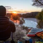
The views of this immense region hadn’t finished with me yet. Even though I could almost smell my (super amazing luxe) campsite for the night, every step of these last 4 kms provided a memorable, ‘look where I’ve been’ reflection on the day. One I’d happily relive all over again.
* The Mt Jaithmathang was formerly known as Mt Niggerhead. If you think that’s the only controversial part of the naming, think again.