Course Dates
| L1 – Intro to Navigation | 2 days | 21 – 22 Mar 2026 | Blue Mountains, NSW | SOLD OUT join wait list |
| L1 – Immersive Navigation Retreat | 6 days | 12 – 17 Apr 2026 | Flinders Island, TAS | LAST MINUTE SPACES AVAIL – BOOK NOW |
| L1 – Navigation Retreat | 4 days | 30 May – 2 June 2026 | Blue Mountains, NSW | SOLD OUT |
| L1 – Navigation Retreat | 4 days | 16 – 19 July 2026 | Scenic Rim, QLD | SOLD OUT join wait list |
| L1 – Intro to Navigation | 2 days | 28 – 29 July 2026 | Blue Mountains, NSW | PRIVATE COURSE |
| L1 – Intro to Navigation | 2 days | 5 – 6 Sep 2026 | Blue Mountains, NSW | SOLD OUT join wait list |
| L1 – Intro to Navigation | 2 days | 12 – 13 Sep 2026 | Blue Mountains, NSW | PRIVATE COURSE |
| L1 – Navigation Retreat | 4 days | 17 – 20 Sep 2026 | Grampians/Gariwerd, VIC | SOLD OUT join wait list |
| L1 – Intro to Navigation | 2 days | 10 – 11 Oct 2026 | Blue Mountains, NSW | SOLD OUT join wait list |
| L1 – Intro to Navigation | 2 days | 24 – 25 Oct 2026 | Perth Hills, WA | Express Interest |
| L1 – Intro to Navigation | 2 days | 14 – 15 Nov 2026 | Blue Mountains, NSW | SOLD OUT join wait list |
| L1 – Intro to Navigation | 2 days | 5 – 6 Dec 2026 | Blue Mountains, NSW | 1 LEFT |
Map and compass navigation course
One of the biggest changes to my bushwalking and hiking experience came when I finally learned how to navigate with a map and compass.
It wasn’t just about the theory of how to take bearings or even understanding how to read a topographic map, it was when the lights started going on and everything started making sense.
It was a bit like when you learn to drive a car. At first, everything is new as you learn how to control the car, read the conditions and juggle the pedals. But once you’ve got the basics down and start the hours of practice, moving from L plates to P plates, that things start to fall into place, become more natural and importantly, you don’t have to rely on Mum and Dad to get you from A to B. You are the driver.
Why should I learn to navigate?
It’s pretty easy to head out on an adventure when you just follow along behind a leader. Chitty chatting, looking at the views and not really paying attention to the terrain, distance or where you are – you’re an observer in the experience. That’s fine if that’s all you want to do, but what if you became an active participant? What if you could start planning your own trips, bringing others with you or even offering assistance and help when a leader or navigator gets lost, injured or just a bit navigationally challenged?
What if you built your confidence to ask the right questions, make good judgements or were able to look at a planned route and decide if it was going to be too hard (or easy) for you? What if you could always answer the question, ‘How much further is it’? ‘How long until we get to camp/river/pub?’ and importantly, ‘Where the (bloody) hell are ya?’
Barriers to learning to navigate
A big part of what stops many people from taking the reigns and learning to navigate is fear of getting lost and perhaps bad experiences in the past where well-meaning people have taken over and perhaps not provided a supportive environment for learning.
If you’re used to going bushwalking with confident people, in clubs or groups, sometimes it can be hard to get someone to teach you, really teach you, navigation.
Yay! I’m teaching a navigation course
I loved teaching navigation to kids in the Duke of Edinburgh scheme – watching the aha moment as things started to make sense. I’m now stoked to be able to teach grown-ups and see those same aha moments and confidence build as competency grows!
I’ve been leading and guiding trips for over 22 years and have been a volunteer with Bush Search and Rescue for 20 years, where I’m now a Search Commander and Team Leader. Needless to say, I’m passionate about connecting people to nature in meaningful ways, that not only keep them safe, but our precious wild places safe too.
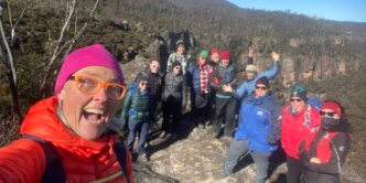
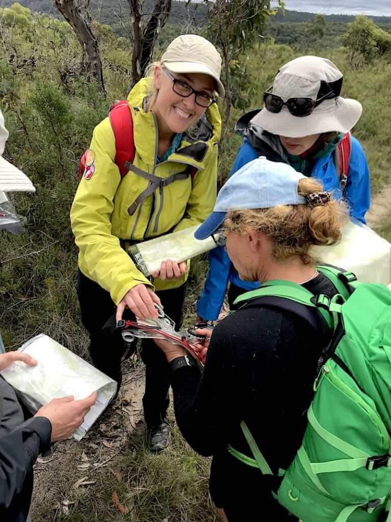
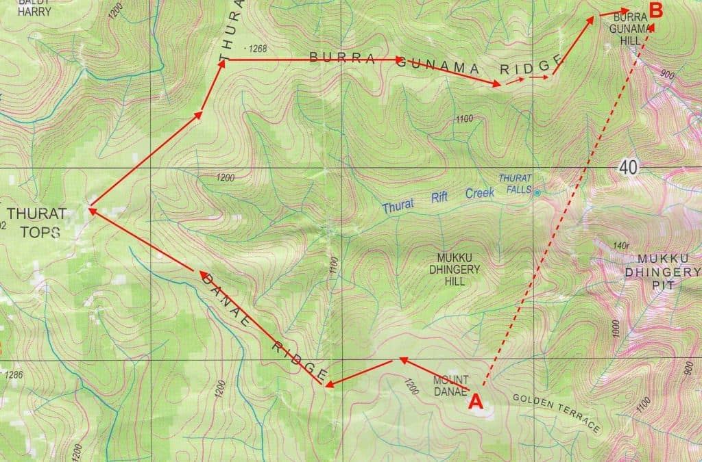
Small Group Sizes
To maximise learning opportunities and to give everyone the chance to get the most out of the courses, most of my group sizes are kept to 8-10 people. Ah… nice and small! There are loads of benefits to this, such as minimising our impact when walking off-track and providing an inclusive, supportive learning environment.
What you’ll learn
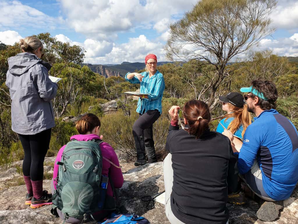
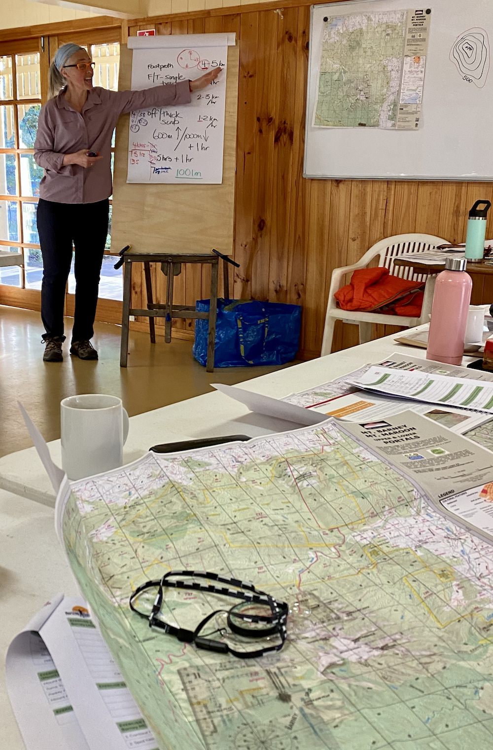
Over two jam-packed days, you’ll learn the foundations of navigating with a map and compass for tracked and untracked areas. Topics will include:
- Reading, understanding (and falling in love with) topographic maps
- Grid lines
- Landforms and contour lines
- Learning to ‘read the ground’
- Demystifying stuff like datums, projections, scales, declination and the ‘3 different norths’
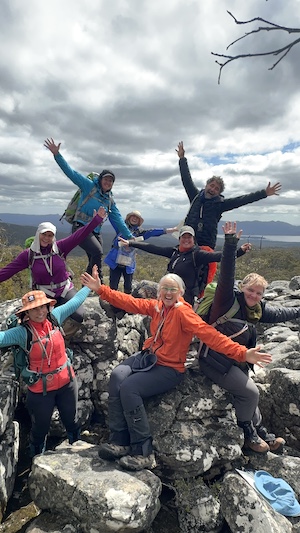
- Becoming best friends with your compass and learning how to use it
- Route planning and finding
- Taking bearings
- How to figure out where you are
- Estimating time and distance
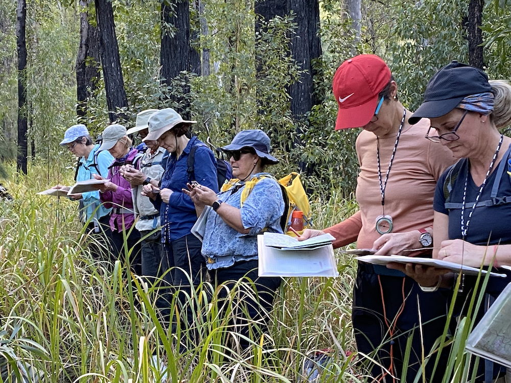
All of this is backed up with practical exercises and workshops in the field. We’ll also briefly touch on:
- Lat Long (Latitude Longitude)
- Smartphone apps and GPS for navigation and hiking
Who is this course for?
We are going to start at the very beginning and not assume any prior knowledge, so don’t feel that you’ll be ‘the dumb one’, ‘or holding everyone up’.
This navigation course is all about the fundamentals and giving you all the tools and theory you need to go out and practice, practice, practice so that you can become more confident in the bush.
So if you’ve never done any map and compass navigation before, or have done some and forgotten it, this course is for you and applicable for:
- Bushwalking and hiking
- Canyoning
- Rock Climbing
- Adventure Racing
- Rogaining and orienteering
- Ecological surveys
- Trailrunning
Navigation Course Format
L1 – Level 1 – Intro to Navigation
All L1 courses are based on the same Intro to Navigation content.
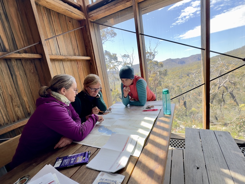
2 day courses spend day 1 in the classroom and day 2 in the field, putting the theory into practice; seeing and demonstrating the techniques.
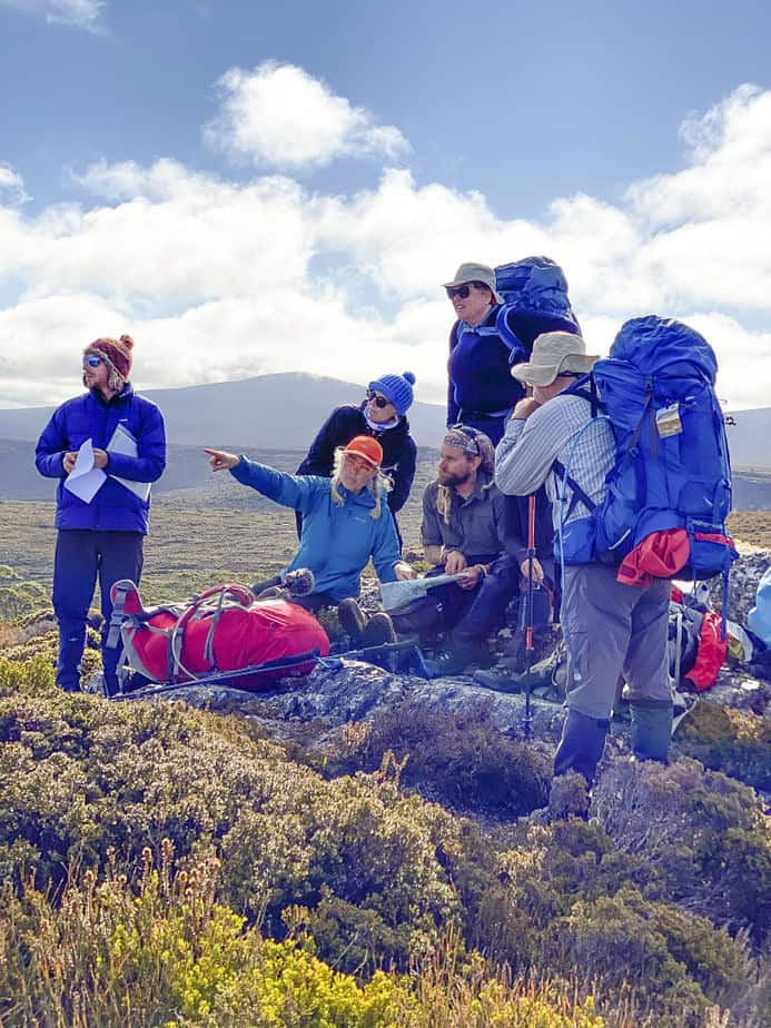
Longer courses (called Retreats), give us time to go deeper and broader on all aspects discussed, with more time in the field and the shared experience of time together over dinner and our accommodation… we get to hang out and chat all things nav (not to mention all the other random topics that come up!)
L2 – Level 2
Any L1 course (or equivalent) is a prerequisite for attending L2. If you’ve done a course somewhere else or want to check if L2 is right for you, get in touch with the course partner to chat first before booking.
Day 1 begins with a couple of hours recapping what we learnt on L1, while building a bespoke outcomes-based plan for the remainder of the 2 days. This allows us to dig into specific techniques or areas of practice that the students want to work on. We go into more detail about triangulation/resection.
We camp together on Saturday night, and you need to supply your own equipment and food.
How fit do you need to be?
Great question! I believe that one of the keys to unlocking navigation is slowing down to see–slowing down to raise your awareness of the world and the landscape around you. Slowing down so you don’t feel rushed or pressured to quickly make a navigation decision and ‘move on and get to the top’.
On an average field day, expect to walk about 5 km, both on and off track, as well as some light to medium scrub. It would be unusual to find big hills of more than 150+m height. Our practical locations are chosen so that people of average fitness are comfortable throughout the day.
Cost & inclusions
Costs vary depending on the duration and location. I live in the Blue Mountains, so the cost of these courses is cheaper than in other locations.
All courses include:
- Qualified and experienced instruction with Caro (longer courses may have additional guides/support)
- Full topographic map printed on water-resistant paper (to keep)
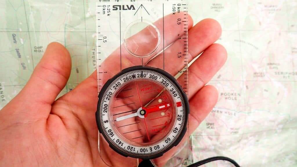
- New Silva Ranger compass (to keep)
- LotsaFreshAir scale ruler lanyard
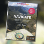
- “How to Navigate” book by Caro Ryan (RRP $39.95)
- Group First Aid Kit
- Map romer
- plus a few surprise extras on the day… think of them as ‘navigation fries with that’.
Accommodation
L1 2 day courses do not include accommodation. Upon booking, my course partners can offer suggestions for local options across different budgets.
If you’re on a budget and have a car, I recommend No. 14 Lovel Street in Katoomba for the Blue Mountains courses. They offer a 10% discount with the code: LOTSAFRESHAIR. Otherwise, there are many options in Blackheath, where the course is held.
Courses longer than 2 days, such as retreats and immersions, include accommodation in the fee. Depending on the location, this may be camping, lodges, guest house, something more boujee or a combo, that acts as our home base for the course. Check each course for details.