With the power of smartphone technology we have the ability to take a whole range of helpful resources to add to our experiences in the wild*. I recently found myself sorting through and tidying up my apps and realised I needed a whole folder just for hiking apps. There are some I use more than others, but here’s my collection of best apps for Australian hiking and bushwalking.
Navigation

Gaia GPS
My #1 navigation app. Open Street Maps basemap, 300+ maps. I use desktop to plan trips and organise in folders. Take photos and pin with waypoints, layer and fade multiple maps at the one time (eg. NSW topo + satellite image + OSM) Cost: Annual subscription $83 AUD, free version available. Comes with subscriptions to Outside magazine and much more. I use it every day, so it’s worth it for me. Cost: $4.99US/mo Platform: Android and iOS | Link: Gaia GPS.

Topo-GPS
My #2 navigation app. A powerful budget option with official govt maps available for some states of Australia, plus Open Street Maps for others. Pin your photos to waypoints and all the functionality you’d expect from a great navigation app. Platform: Android and iOs | Link: Topo-GPS
Avenza PDF
A geo-referenced PDF map reader. Whilst the app is free, buy individual topographic maps for your particular area/hike, which average $1.50. Cost: Free | Link: Avenza Maps | Platform: iOS and Android.

Coordinate Converter
A simple tool to convert coordinates and grid references between LatLong Degrees/DMS/DM, MGRS and UTM/UPS. Also provides coordinates or grid references from pins on a map. Not sexy, but it works. Cost: $1.99 USD | Link: Coordinate System Converter | Platform: iOS.

PeakFinder
What’s that hill/mountain/plateau over there? Well, unless you’re good with map and compass bearings, you can just hold your phone up and the camera overlay VR display will show you the names of the peaks and features around you. Very cool. Cost: $4.99 (once off) USD | Link: PeakFinder | Platform: iOS and Android
Safety
Fires Near Me – One of the key pre-hike checks to do is fire danger. The popular NSW RFS app has been extended to cover all of Australia. Check your local app to see if it gives you more options (I still like the NSW one!). Cost: Free | Link: Fires Near Me | Platform: iOS and Android
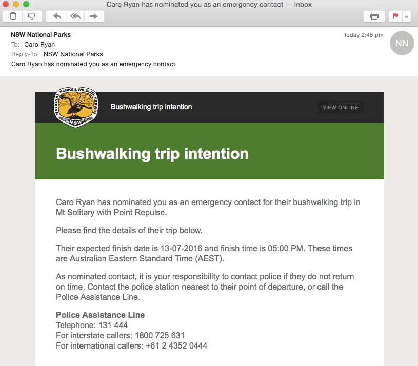
Emergency+ – An essential app that allows you to call (when in mobile coverage) 000, the SES or the Police non-emergency number. Includes your GPS coordinates and the street address to tell the operator. Cost: Free | Link: Emergency+ app | Platform: iOS and Android
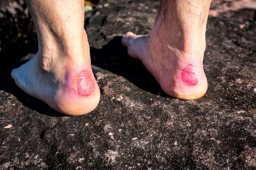
Australian Red Cross First Aid – Easy to use, must have app for first aid emergencies and their treatment. Clear, step-by-step how-tos, FAQs and quizzes deliver a great First Aid guide in your pocket. No coverage required. Cost: Free | Link: First Aid by Australian Red Cross | Platform: iOS and Android
Australian Bites and Stings – The latest first aid treatment for the full range of Aussie bites and stings. Inc snakes, spiders, aquatic life and others. A comprehensive AU Govt funded app, great for training as well as in the heat of the moment. Cost: Free | Link: Australian Bites and Stings | Platform: iOS and Android.
Essential Skeleton 4 – A bit left field, but this app is handy for identifying injured bones if communicating with emergency services. In LandSAR, it’s helpful in preliminary ID of bones you might find in the bush, prior to expert opinion. Cost: Free | Link: Essential Skeleton 4 | Platform: iOS.
NSW Ambulance Protocols – Officially for use by Ambo’s, it’s a helpful research tool, especially for RAFA or Wilderness First Responders dealing with extended patient care, with (mostly) easy to understand flowcharts. Cost: Free | Link: Ambulance Protocols | Platform: iOS and Android.
SAS Survival Guide – Not really my kind of thing, but heck, if I don’t put it on the list then someone with a knife is going to give me a hard time. So here it is. Cost: $5.99 USD | Link: SAS Survival Guide | Platform: iOS and Android.
Interpreting the natural world
Birds of Australia – The Morcombe & Stewart Guide is one of the foremost field guides to Australian birds. 790 species, 3000 images and over 1800 songs and calls, the bible for birders. Cost: $29.99 AUD [Lite free version avail] | Link: Birds of Australia | Platform: iOS and Android.
iFungi AU – How many times have you come across a lovely fungus and wondered what it is and can you eat it!? App comes with a fungus identification wizard, which I’ve found to be helpful about 50% of the time. Heed the warnings though… mushies can be deadly. Cost: $4.99 USD | Link: iFungi AU Facebook | Platform: iOS and Android.
NSW WeedWise – A ‘which weed is that?’ app, that outlines our biosecurity duty if we find them and also how to control them. Loaded with photos and identification tips. Look out for relevant app for your state. Cost: Free | Link: NSW WeedWise | Platform: iOS and Android.
Wild About Whales – Developed by NSW NPWS, during whale season, icons will show you where whales have been spotted and their type, plus contribute your own sitings. Loaded with science and the best viewing spots. Cost: Free | Link: Wild About Whales | Platform: iOS and Android.
Australian Museum Field Guide to NSW Fauna – Wonderful FREE app with loads of photos categorised to help you identify an enormous variety of creatures great and small. Birds, mammals, fish, frogs, snakes and other reptiles, bugs, insects and more. Cost: Free | Link: Australian Museum | Platform: iOS and Android.
FrogID – A wonderful citizen science project from the Australian Museum, FrogID is like Shazam for frogs. Record a sound and find out what frogs are near you AND contribute to our knowledge of frogs all around Australia. Cost: Free | Link: FrogID | Platform: iOS and Android.
PlantSnap – Wondering what a certain plant is? Take a photo and it will search an epic database to ID it (mobile coverage needed). I use this almost every time I’m out to try and grow my plant knowledge. Cost: $14.99 USD (free version avail) | Link: PlantSnap | Platform: iOS and Android.
Sun Surveyor – This is a great way of seeing where the sun (and moon) is going to track across the sky, in a VR display using your camera. Accurate sunrise and sunsets, along with times for golden hour, blue hour and probably a whole lot more than you’ll ever need. Cost: Free (Lite) or upgrades. | Link: Sun Surveyor | Platform: iOS and Android
Night Sky – Still up in the air, being able to identify the different constellations is a great night time activity. Using VR, you can get a realtime check on what and who all those sparkling wonders are above you. Cost: Free (lite) with upgrades | Link: Night Sky | Platform: iOS. Android users try Star Walk 2 (free).
Moon Phase Calendar – This Aussie made app, with imagery from NASA is the perfect planner for trips that aim to have star (or satellite) gazing at their heart or if you want to try full moon walking. Easy to use, but if ads annoy you, pay for the upgrade. Cost: Free ($7.99 premium) | Link: Moon Phase Calendar | Platform: iOS. Android users checkout Daff Moon Phase.
Food
TrailChef – Well designed app featuring recipes from breakfast, lunch, dinner, snacks, drinks, desserts, inc dehydrated meals. It’s USA based, so some ingredients are not available in AU, but I love that the layout, shopping list, at home prep, on the trail prep and a photo. You can also add your own recipes. Cost: $2.99 USD | Link: Trail Recipes | Platform: iOS
Activities & Trip Inspo

Wikiloc
Over 240,000 ‘trails’ (of all types) in Australia, this global database should provide you with enough trip inspiration for many lifetimes. Cost: $19.99/year USD (free version avail) | Link: Wikiloc | Platform: iOS and Android
Geocaching – Make sure you choose ‘the’ official geocaching app, to get yourself started into the wonderful world of treasure hunting… on a global scale. Great for kids and families to enjoy together. Cost: Free (limited) and paid upgrade | Link: Geocaching | Platform: iOS and Android.
Strava – People use this (and similar apps) for all sorts of reasons. In its simplest form, it’s a good logbook of hikes and adventures, or dig deeper for health, fitness or competitive reasons. You know the saying… ‘if it’s not on Strava…’ Cost: Free | Link: Strava | Platform: iOS and Android.
NSW National Parks & Wildlife Service – A surprisingly good (and underrated) app, that I wish every casual hiker who asked me for directions in the bush had on their phones. Maps, hiking trails, facilities and tips. Most worthy. Cost: Free | Link: NPWS | Platform: iOS and Android. [Check your local land manager for apps].
AllTrails – Great interface and design, packed with features with maps, tracks, downloads, photos and easy search feature. Good comments from community https://www.alltrails.com/members and user-generated info. Cost: Free (+ upgrades) | Link: AllTrails | Platform: iOS and Android.
More to Explore – Opens your eyes to the world of Victoria’s State Forests, with maps, facilities and other helpful info for visitors. Cost: Free | Link: More to Explore | Platform: iOS and Android.
Weather
Weatherzone+ – Everyone’s got their own favourite weather forecast app… this is mine. Nice interface, loaded with features, set your favourites to your regular hiking and travel locations to help decide where to go on the weekend. Cost: $5.99 (or free lite version) | Link: Weatherzone+ | Platform: iOS and Android
BOM Bureau of Meteorology – Kinda like your smart grandmother and school science teacher all in one. All the bells, not many whistles… but then it is the official Australian government app! Cost: Free | Link: BOM | Platform: iOS and Android.
Rain Parrot – Just the wet stuff, the liquid sunshine and radar. Accurate and quirky audio notifications, “Raaaain Coming!”, I use this on film shoots to estimate how many minutes left ’til downpour. If you like Waze for street directions, you might like this. Cost: $2.99 US | Link: Rain Parrot | Platform: iOS
YR Weather – Those stylish scanda-norgians have come up with a very clever weather app, that narrows down to some very specific local areas, that I’m sure they’ve never heard of in Oslo. Scarily accurate (often more than AU sites), it’s one of my go-to’s. Cost: Free | Link: YR | Platform: iOS and Android.
Windy – Stunning visuals (check out the desktop version to see what I mean), this award winning app makes understanding wind easy. If you’ve ever walked the Main Range in strong wind, you’ll know how valuable this app could be in planning. Beans and dhal not included. Cost: Free | Link: Windy | Platform: iOS and Android.
Logistics
Packlight for Backpackers – A beautifully simple packing list app that allows you to enter your gear inventory (with weights) and then create packing lists for different types of trips. A great way of keeping track of your gear and an eye on pack weight. Cost: Free | Link: PackLight for Backpackers | Platform: iOS [Android users try TrekPack].
WikiCamps – If you do any car camping and road trips (who doesn’t post 2020?), then this app will change your life. It’s been the go-to bible for grey nomads for years and I used it religiously for my drive across Australia. Cost: $7.99 | Link: WikiCamps | Platform: iOS and Android.
Animated Knots by Grog – Whether you’re working on your tarpology or passing the time working on your knot knowledge, Grog is the home of simple instruction, clear animations and knots for all purposes. Cost: $4.99 | Link: Animated Knots by Grog | Platform: iOS, Android & Windows.
Get your Geek On
Heavens Above – Is for those of us who love nothing more than lying on your back and watching satellites zoom across the night sky. Be warned, it can be an addictive hobby and can lead to adventures being planned around cycles. Cost: Free | Link: Heavens Above | Platform: Android. [iOS users checkout Satellite Tracker].
ISS Live Now – Watch the earth live from space… right now AND track when the International Space Station and the 6 people who live onboard will next be passing overhead. Quite incredible really. Cost: Free | Link: ISS Live Now | Platform: iOS and Android.
Plane Finder – Ever seen an aircraft go overhead and thought, ‘I wonder where it’s going?’ With this app, you’ll not only find out where that steel bird (via VR screen) is going, you’ll know what airline it is, flight number, aircraft type, where it came from and the colour of the Flight Attendant’s lipstick. Cost: Free + upgrades | Link: Plane Finder | Platform: iOS and Android
Live ATC – If Plane Finder (or FlightRadar 24) isn’t nerdy enough for you, run it simultaneously with this app, listening in on air traffic control towers around the world and you’ve just boosted your geek level from Leonard to Sheldon. Cost: $3.99 USD | Link: Live ATC | Platform: iOS and Android
Entertainment
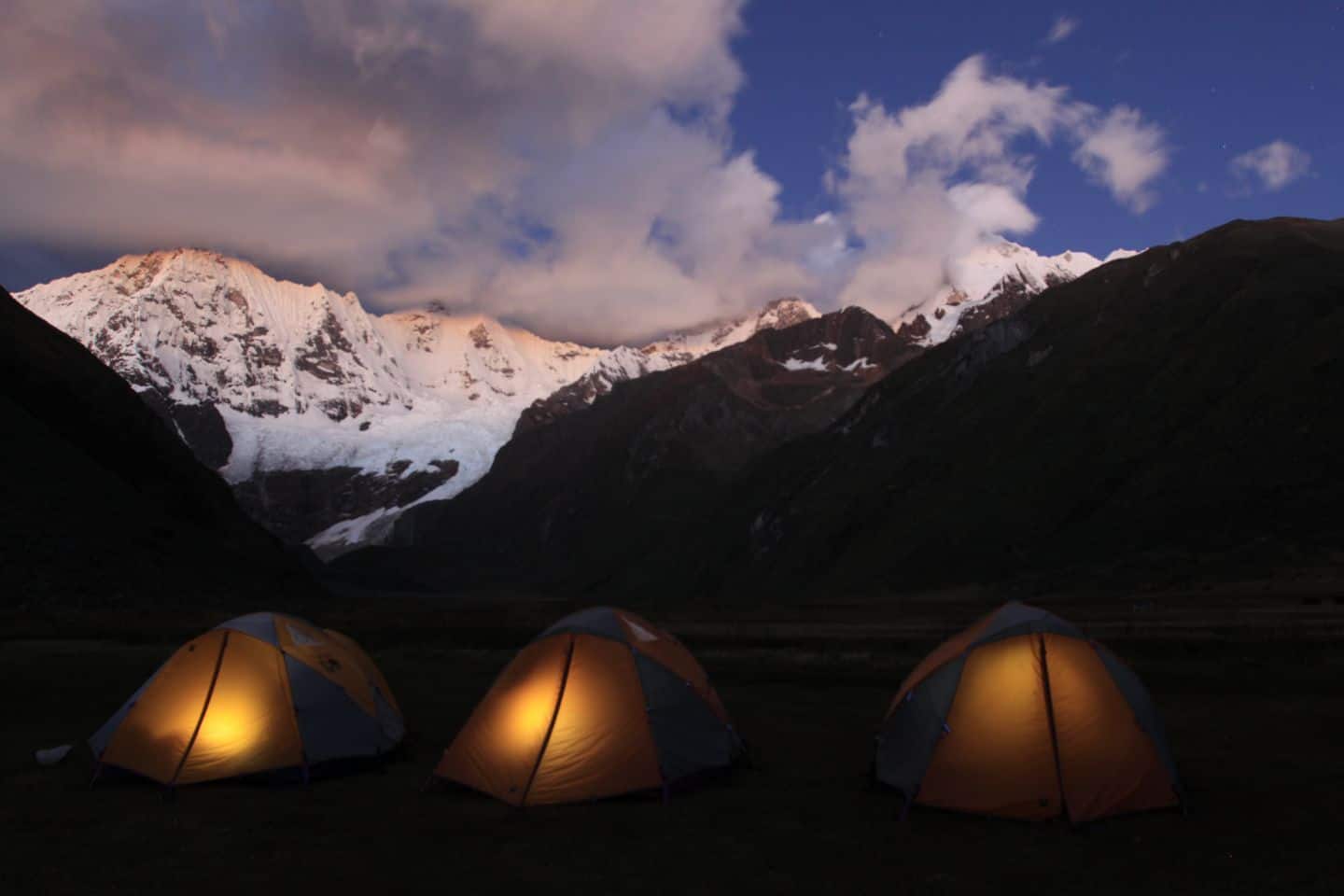
You’re stuck in your tent/cave/hut and it’s blowing a blizzard out there. You ain’t moving for at least 2 days and the instructions on the cuppa soup label are getting repetitive. It’s times like this that you may be thankful for a few apps to pass the time.
Kindle – Rather than carry a Kindle device, simply download the app to your smartphone and take your library with you. Good for natural history interp too – birds, geology, habitat identification, the list is endless! Cost: Free (+cost of books) | Link: Kindle (ie. Amazon) | Platform: iOS and Android.
Podcasts – Don’t forget your earbuds to listen to a world of pre-downloaded material (if you’re outta range). Learn, laugh, meditate and be inspired. Just avoid true crime in forests if hiking alone. Cost: Free | Link: Apple Podcasts, Stitcher, Spotify, etc | Platform: iOS and Android
Audible.com – Can’t be bothered to read on Kindle? Just download a book prior to leaving coverage and listen (earbuds buddy) to over 150,000 titles. nb: Unsubscribing from Audible and their endless emails can be challenging if you change your mind. Cost: free 30 day trial, then $17.49/mth AUD | Link: Audible | Platform: iOS and Android.
Other Suggestions
- ViewRanger – Like AllTrails meets Gaia, but not as popular.
- Fire Ban Checker – Check for fire bans across Australia. (It’s a good idea not to be out hiking during a fire ban.)
- HikePack – Like AllTrails, but not as good or as popular.
- Day One – Nice app for journalling, adding photos, keeping trip diary.
- Photo Transfer App – An easy way of getting your pics off your phone!
- TrailForks – Like AllTrails for cyclists and MTB.
- Netflix – Downloaded episodes, the glow from your tent at night… you know who you are.
- Oruxmap – For tech savvy types who like maximum control, try this app teamed with the Andrewp OSM base map.
- Australia Topo – A German Android navigation app, some mixed reviews.
- Alpine Quest – Just in case you are still looking for yet another Android mapping option.
- Questions about getting free NSW Six Maps onto Avenza? Please don’t ask me… jump in here and have a read… if still confused, ask questions in the forum and play nice.
A word on battery life
Bear in mind that some apps will chew through your battery life faster than others. Apart from switching to Flight Mode to conserve battery, it’s important to keep an eye it and in situations where you’re using the phone as your primary GPS device, it is essential to not only carry a backup solution (solar or powerbank), but to always have a map and compass … and know how to use them!
*Just remember that one of the best experiences of all out in the wild, is turning off all devices 🙂


