The Razorback Ridge from Mount Hotham to Harrietville is hands-down one of the best 1-2 day hikes in Victoria.
That’s a big call and I’m willing to be challenged on it, but in terms of access, track quality, terrain and continuous jaw-dropping views – all wrapped up in a big-sky, alpine experience – The Razorback delivers in spades.
Best time to hike The Razorback
This particular trip (December) was the third time I’d traversed this megalith of a ridge and I never tire of it.
Traditionally, late December-early January is when the wildflowers are bursting, creating alpine meadows of colour, however with our changing seasons, locals told me it is becoming harder to predict just when the vivid displays will appear.
Whilst the low-lands below might be melting on a 35C day, the Razorback which looms over 1000m above, is generally 10 degrees cooler. This elevation change hints at the long steep descent ahead of me, down Bungalow Spur, but also points to the dynamic weather variations that can occur.
As the crow flies, there’s only about 6 km between the summit of Mount Feathertop and Harrietville, but in terms of weather, it could be snowing and gusty at the top, whilst kids are swimming in the Ovens River in Harrietville.
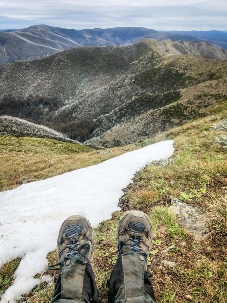
Grade and Difficulty
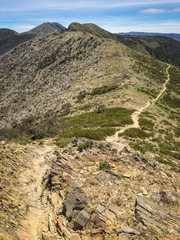
There’s a sense in walking the Razorback that feels like riding a gentle rollercoaster, carried along with the momentum of swinging steps. The section between the Great Alpine Road and The Cross is a constant ripple, followed by a roll.
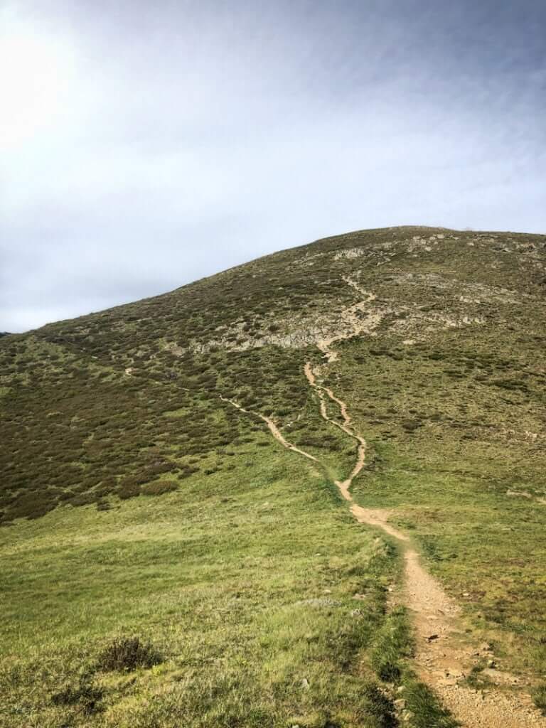
Whilst mostly a grade 3-4 track, some of the ascents (such as the final pinch to Mt Feathertop) are steep, with uneven and broken, rocky terrain.
As the route traverses exposed ridges, the difficulty increases in wet weather or on hot windless days as there is no shade. It’s a good idea to check the forecast and Vic Emergency app before setting out and it’s not recommended in bad weather.
Getting to the start of The Razorback Hike
Approaching from Harrietville, the 26 km drive to the start at Diamantina Hut (3 km shy of Hotham Village), felt like I’d ascended into a new heaven. Rising above the bountiful agricultural plains, I caught my breath as we broke the treeline and views from Danny’s Lookout rolled out like a giant’s picnic blanket before us.

Although I was lucky enough to grab a lift up the hill, the delightfully named Bennett Mountjoy (yes, Mountjoy), top bloke and owner of the Snowline Hotel in Harrietville, offers transfers in their 11 seater bus or 4WD taxi. Perfect for groups of hikers or cyclists.
The Razorback Track
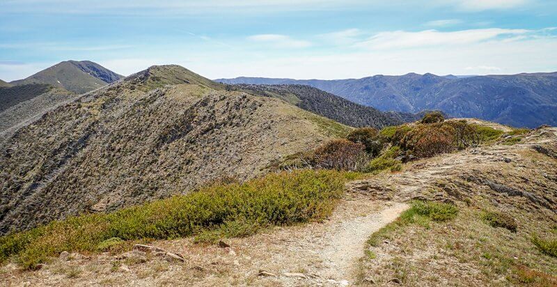
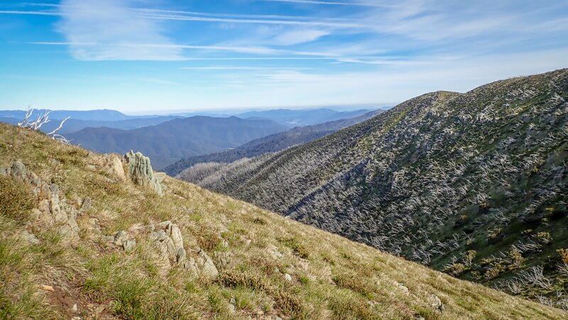
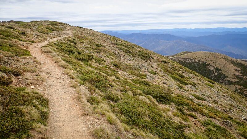
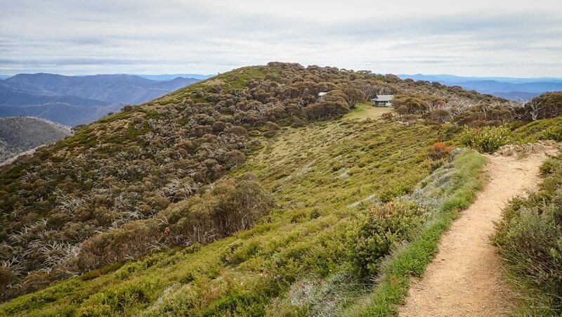
The single track is well defined, sunk into undulating bumps that run south-north along an unbroken ridge. I like to think of ridges (and their families of spurs that lead ramp-like up and down them) as superhighways. Geography generally dictates that the high point along these features is the easiest way to travel from A to B and The Razorback is an excellent lesson in this.
A standout feature of the Razorback is the options that it gives you for exploring further afield, using the connecting spurs to join up to other areas of the region. Two of my favourite multiday options are Harrietville to Harrietville via Bon Accord Spur – Razorback – North West Spur or Hotham to Hotham via Razorback – Diamantina Spur – Pole 333 – Dibbin Hut – Swindlers Spur.
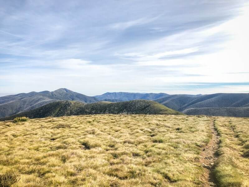
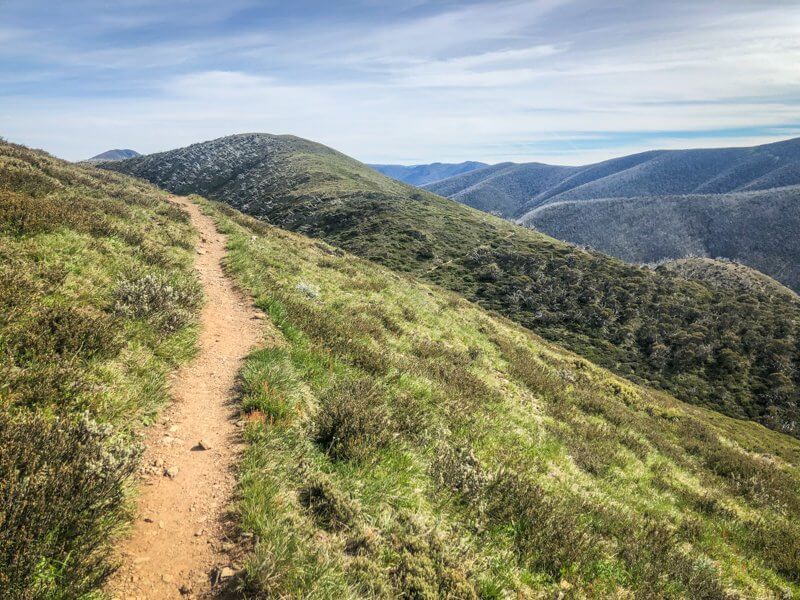
My 21.5 km route was broken into three stages:
- Diamantina Hut to The Cross = 9.5 km
- The Cross to Mt Feathertop Summit Return = 3 km
- The Cross to Harrietville via Bungalow Spur = 9 km
Stage 1 – Diamantina Hut to The Cross
The track officially starts on the north side of the Great Alpine Road at a small shelter with a hikers log book. If you’re hut-curious (or a hut-bagger), you could quickly duck across the road to Diamantina Hut for a look at its iconic A-frame design.
I just love the feeling of stepping away from a road or trailhead. As soon as I signed the logbook and took my first steps, I could see the trail snake off ahead of me, calling me on towards Mount Feathertop and beyond.
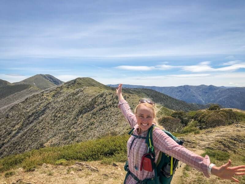
My companion and I made good time and the weight of my day pack assured me that I was carrying all that I needed, prepared for the possibility of changing weather. For the time being though, the perfect 24C and gentle breeze buoyed our spirits and I found myself smiling, just to be here. Smiling as my gaze rested on the near and far hills, the sweeping high clouds, the sun on my face and the earth beneath my feet.
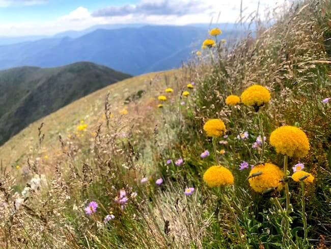
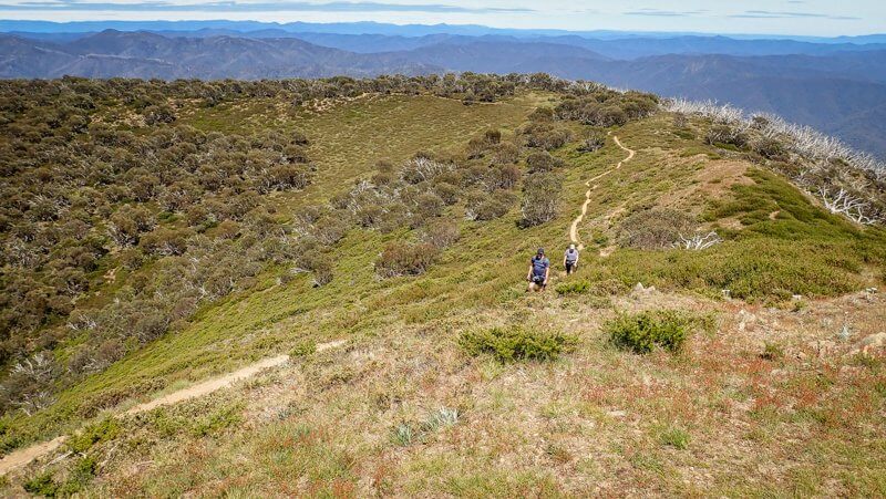
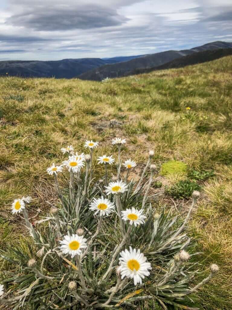
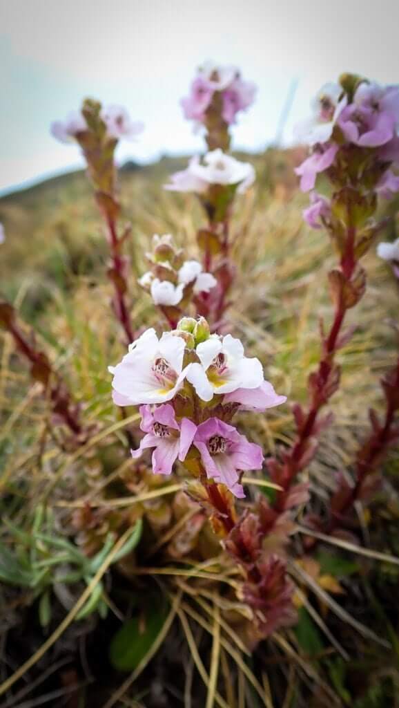
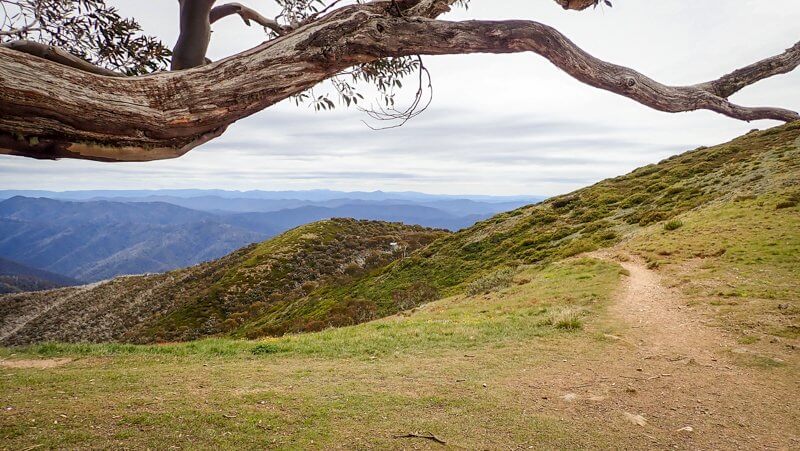
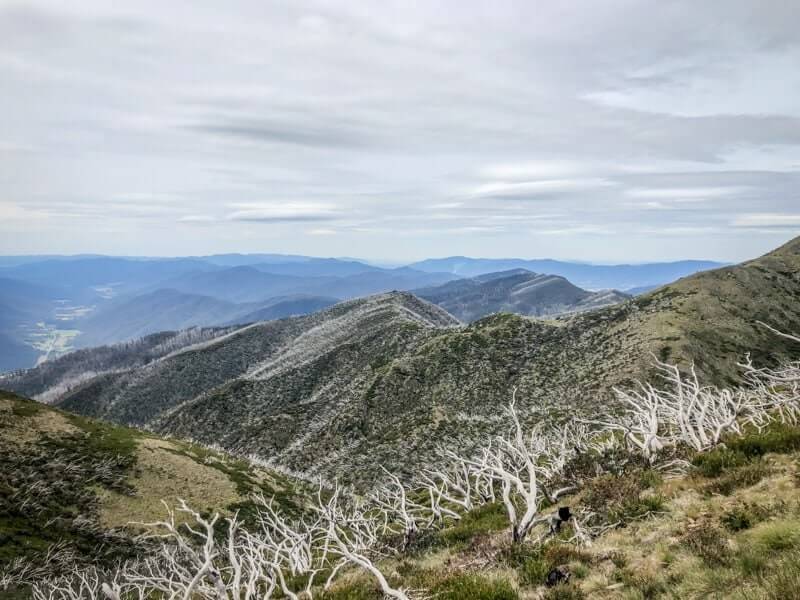
Tussocks of alpine grasses were nudged by the wind, whilst Billy Buttons waited patiently for just the right moment to expose their yellow brilliance. At times, stands of snow gums, ghosted from past bushfires, challenged their above-the-tree-line position amongst the shrubs of dwarf boronia, alpine daisies and purple coral pea.
Stage 2 – The Cross to Mount Feathertop (Option)
With the aim of having lunch on top of Feathers, I started the day at 8.30 am and saw just two other couples before reaching The Cross. Feeling like I (almost) had the entire walk to myself was a luxury that came with walking on a Friday. Fine weekends or during trail running events, there are significantly more people.
Arriving at The Cross (one of the main junctions on the Razorback Track), I had the pleasure of meeting the awesome Mitchells from Canberra. This family of 7 legends, who regularly go bushwalking together, had just returned from the summit and were making their way back to Hotham. That’s an epic 22 km day that they’ll never forget – in a good way. [Part of me is kinda jealous, wishing that I’d been introduced to hiking that young… just think of all those extra places my feet might have taken me!]
Farewelling the Mitchells, I could hear my stomach rumbling, so knew I needed to keep moving to enjoy lunch at the summit of Victoria’s 2nd highest peak, whilst taking in the immense 360 degree views.
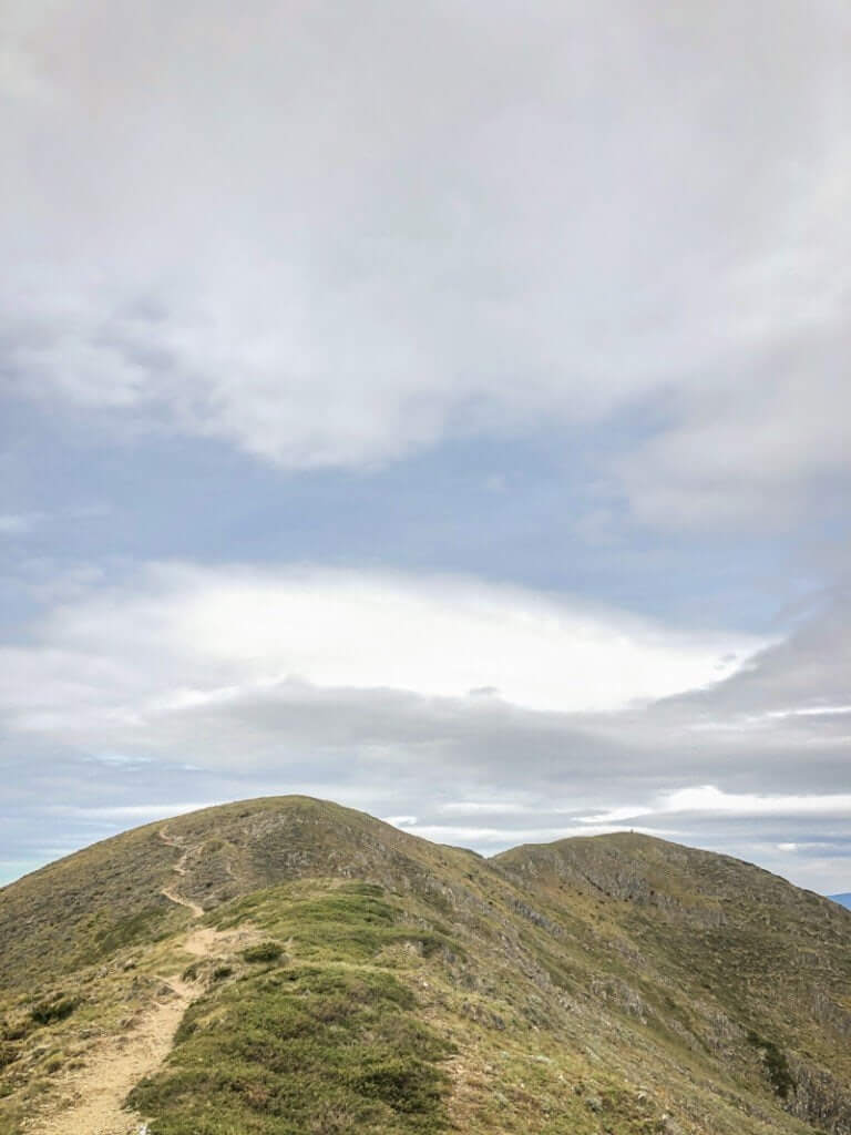
The track gradient increases significantly at this point, to lead up and over a false summit (sorry), before emerging on the gentle, rounded crest that reminds me of a bald-headed giant. A truly majestic spot to refuel for the long down-hill ahead of me.
Stage 3 – The Cross to Harrietville (Bungalow Spur)
With a belly full of food and an SD card (almost) full of photos, I dragged myself away from the peak to return to The Cross.
Clouds had begun swirling overhead and the wind picked up, gusting the occasional icy blast, so I drew on my jacket and started down.
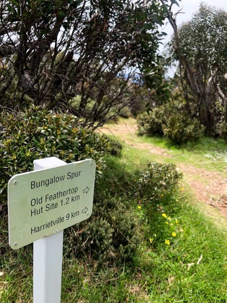
Following the sign to Harrietville and Bungalow Spur, I was surprised to find Federation Hut and campsite like a ghost town. This is a lovely campsite. Just within the treeline, framed by snow gums, this is the usual campsite for people wanting to make this a 2 day walk. It’s a popular spot which I’ve previously seen bear the brunt of thoughtless campers, so it was nice to find the hut and toilet clean and in good condition.
It’s at this point I gave my knees a solid talking to.
“Now, knees. You know I love you. We’ve had some great adventures together, climbed some gnarly high epics and descended screaming descents before. All that is between here, a shower and the pub is 1183 metres down over 8.6 km. Do you need WD40?”
Caro Ryan, Federation Hut, Dec 2019.
Thankfully, no lubricant was required.
Bungalow Spur is the best access route to the alpine area from Harrietville and the track testifies to the number of people who use it for a ‘there and back’, trip to Mount Feathertop.
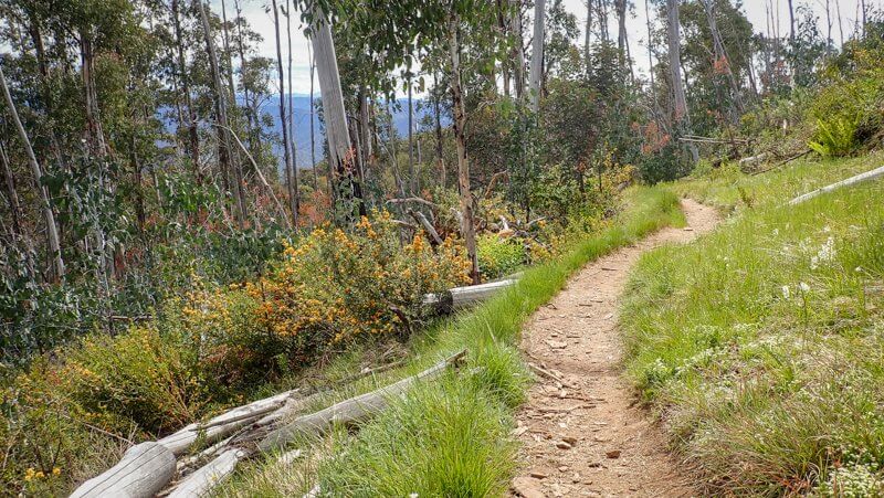

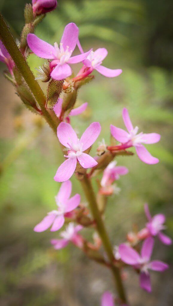
The transition from the treeless high ridge, into the towering Mountain Ash forests that grow on the steep sides of the track, was like flicking a switch. The temperature started to rise and the diversity of plant life erupted in pockets of moist gullies. Gone was the tenacious alpine celery, replaced with trigger plants, Tasman flax lillies, bracken and ferns.
Bungalow Spur has a magical elastic quality. I think it’s something in the water (which is a good idea to treat). Just when I thought I needed to check my watch again, I spied the end of the trail, the car I’d left there in the morning and could swear I heard the pub calling my name.
Caro travelled with the assistance of Tourism North East. Watch my full Walk High Country Instagram Story here.
