I love maps.
As a young kid, I used to lie on the lounge room floor and plan imaginary trips across the vast continent of Australia. In the internal conversation (that only makes sense to an 8 year old), I was an intrepid explorer, explaining the route to a curious journalist about a far-flung adventure to link up curious names on the map of my homeland.
Maps truly are amazing things and inspired by last week’s post about place names that inspire fear, I decided to look at just how places get their names. Officially.
Meet an expert on maps and naming
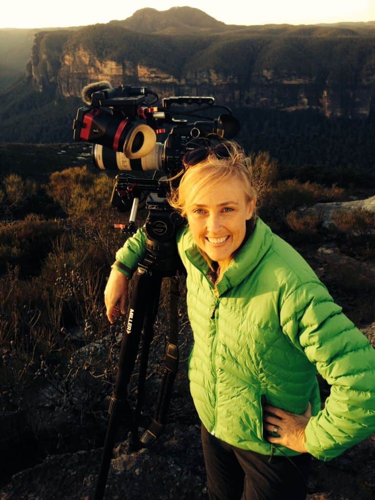
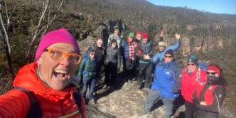
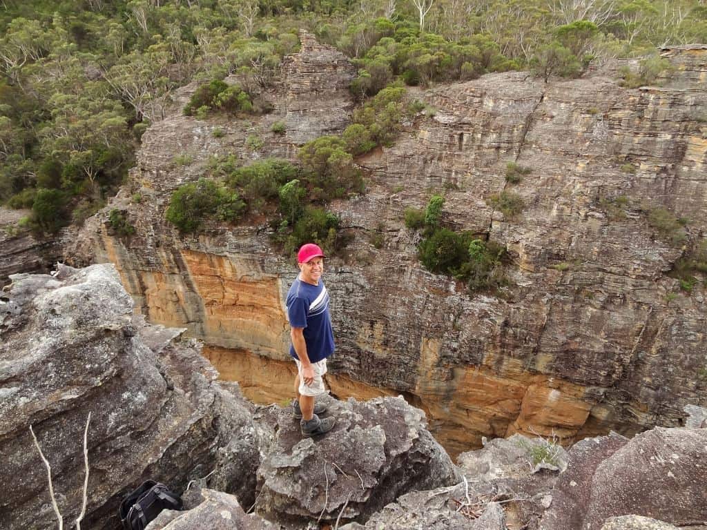
In the past few years, I’ve had the pleasure of walking a few times with Brian (I call him “Foxie”) Fox. Not only is he an incredibly experienced bushwalker, with a superb ability to climb/shimmy/scale and slide his way up or down seemingly unsurpassable cliff lines, revealing themselves to be, in fact, old Aboriginal passes, he’s a very nice bloke!
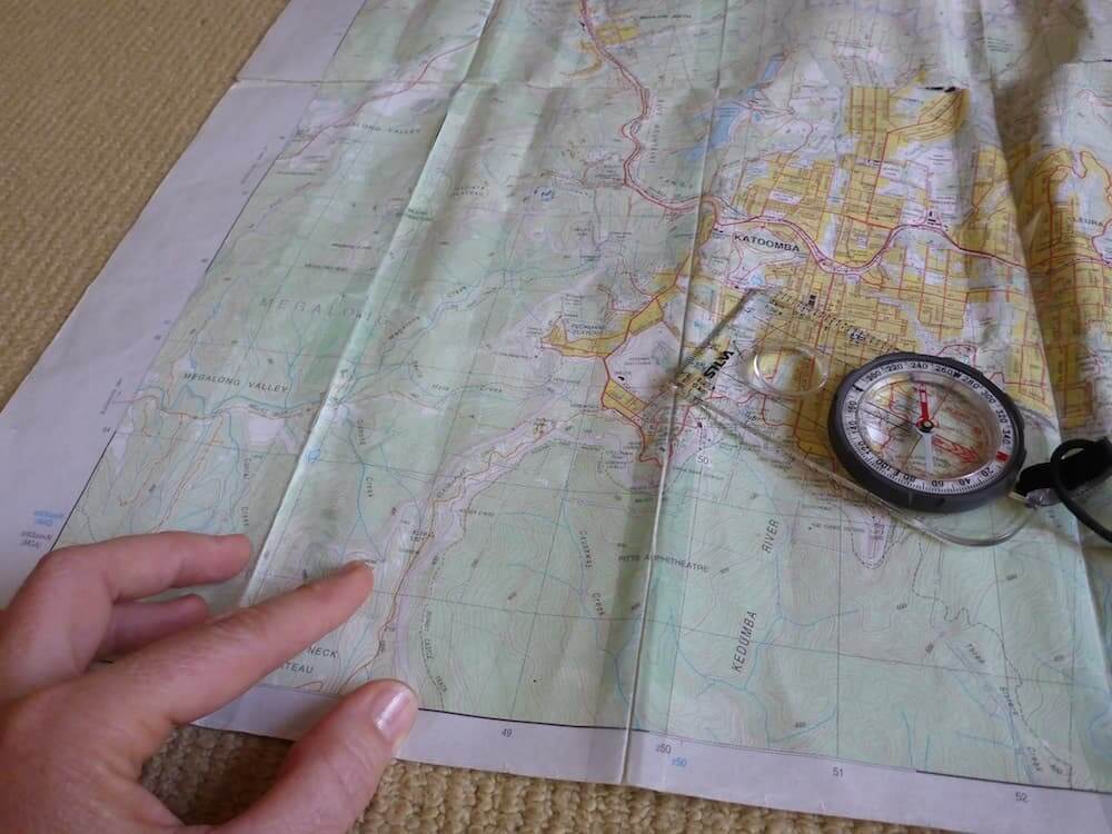
Apart from this, although now retired (yeah, right) he previously spent 40 years working for the Lands Department of New South Wales, which due to several name changes along the way, included the Central Mapping Authority. The majority of his time there was spent in the compilation of topographical maps, with a key project being the Katoomba 1:25,000 for which he played a major role on the “new” digital series – the first to include the aerial photograph on the reverse side – which we’re now familiar with.
He is the perfect person to ask about maps and how they come about, so he kindly agreed to this interview:
Where do place names come from?
Brian, where did your love of mapping and bushwalking come from?
From 8 to 21 years old, I was involved in the Boy’s Brigade. From a young boy I rose through the ranks to be a leader and part of this organisation involved outdoor activities such as bushwalking and camping. At school, my love of Geography also led me to the mapping side of things.
If I come across a significant feature (ridge, knoll, creek, river, etc) that doesn’t have a name on a topo map, can I name it? What is the process of a place getting an “official name”?
Yes! Anyone can submit a name for approval. Check the Geographical Names Board website and download a naming proposal form. There are a few naming conventions, i.e. if you are naming a place after a person, that person cannot be in the land of the living, do not use apostrophes, have good solid evidence, primary evidence to support your case, make sure the feature did not have a previous name and was there an older Aboriginal name for that feature?
The name you submit will also be passed on to the local LGA area, council for their designated officer to make comments. If in a National Park, then a copy is sent to the NPWS for their approval. Following that, your proposal goes to the Geographical Names Board (GNB), if approved then the name is advertised in the local paper for 30 days for public comment. If all goes well the name is then gazetted.

How do you approach the detective work of finding out the history behind a place name? Where do you start and how does the journey feel, especially when you find out the answer?
The short answer is I leave no stone unturned and examine every possible source of material I can lay my hands on. I ascertain what does the name imply, i.e. does the named text indicate it is named after a person, event or time frame? I first check my own records (as I have built up a reasonably good collection of books and maps), looking for primary sources (birth, death certificates, electoral rolls etc) and secondary sources (newspapers, tourist directories) of information. If the name is of a person, then there are a number of ways to track it down, e.g. genealogy web sites, Election Rolls, probate, newspapers, Public Servant lists, railway employees, Blue Book, Council Minutes and cemetery records to name just a few.
It goes without saying it is a very time consuming occupation, at times with plenty of dead ends, but when you start to unravel the mystery it feels like a “Eureka” moment. The time and effort than becomes worthwhile.
Tell me about your book, “Blue Mountains Geographical Dictionary”. How did this come about and what has the response been?
It was a combination of mapping, i.e. establishing the correct position and naming of text on the Katoomba Topo Map, plus my love for the bush and bushwalking that led me to research place names within the Blue Mountains. I soon realised that only a few of the common names had been investigated and a lot of the generation of people which held the oral history were passing on. This made me realise the need to record our Australian Blue Mountain Place Names before further information was lost.
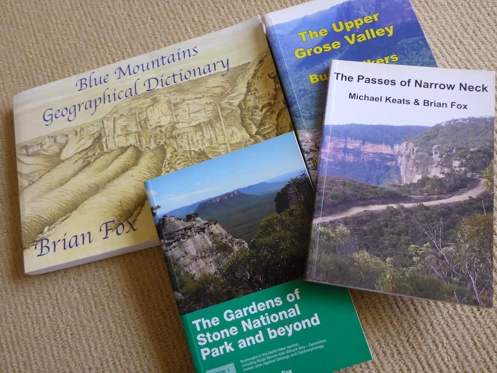
Since that book, you’ve been working tirelessly with bushwalker Michael Keats on a series of other bushwalking books. How did the relationship come about and what is the aim of those books? What types of info is in them?
In 2005 (whilst working for the Lands Department) I took a telephone call from the Geographical Names Board and was transferred to a person (Michael Keats) who was seeking information on a name on the Jenolan Topo map. From this simple request we soon established that we held a number of things in common, our love of the bush, our desire not just explore, but to understand the origins behind the place names on the map.
Each book in the series has as it’s core, bushwalking track notes with plenty of photos. But the aim of this series is to include as much as the physical and cultural aspects as possible. Such as,
- geology
- climate
- historical maps
- river catchments
- place names
- flora
- fauna
- European settlement
- forestry
- mining
- threatened species, etc.
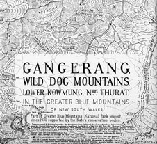
You’re about to launch book 5 of the Gardens of Stone series, for such a relatively unknown National Park, that’s a prolific work. Why did you embark on this series?
One of our main reasons is that this huge area has never been fully documented, just small segments. Our researched books do not just cover the Gardens of Stone National Park and beyond series, but also a large slice of the adjoining Wollemi and Blue Mountains National Parks. Apart from highlighting this unique area to the general public, we wish to be able to focus the attention of the policy-makers in protecting the fragile environment and to direct those such people to change the status of the State Forests which adjoin these national parks either by adding to or as State Conservation Areas. Our secondary aim is to leave a lasting legacy for the following generations.
Check out this video with cameos and explanations by Foxie taken during a walk/climb up Pantoney’s Crown in the Gardens of Stone National Park!

What’s next, after the GOS series?
While the Gardens of Stone National Park and beyond series continues, so also is my various history articles being researched for Blue Mountains History Journal, articles are submitted to various places including The Sydney Speleological Society. While GOS continues Michael Keats and I are storing researched information on Capertee National Park, Passes within the Jamison Valley, and we would also like to revise our book on the Passes of Narrow Neck with new information which has come to hand since it was published. Never a dull moment.

In summary, Brian stresses the importance of authentic documentation. Keep your records up to date, write on the back of photographs (or in the metadata of digital images). Things like dates, events, location (some camera’s include GPS data already) and people are essential.
I’ve personally found Brian and Michael to be very generous in their knowledge and expertise. They have done immense amounts of research through their books and they are passing this on. Together, they truly are leaving a lasting, positive legacy for all.
You can find out more about these two Bush Explorers at their website, as well as purchasing their books! You seriously will not find a more detailed account of these locations in any other book.