
Romer
$8.95
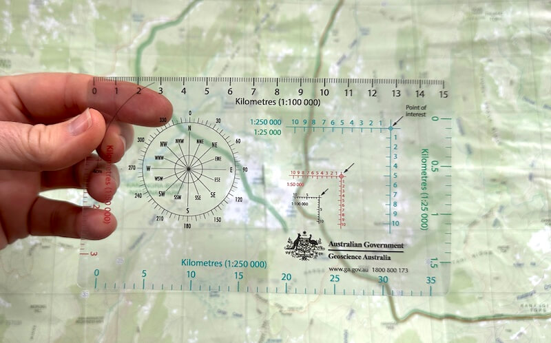
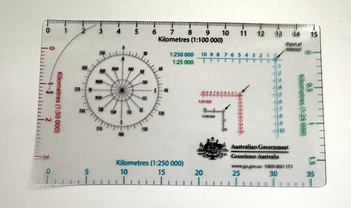
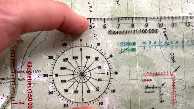
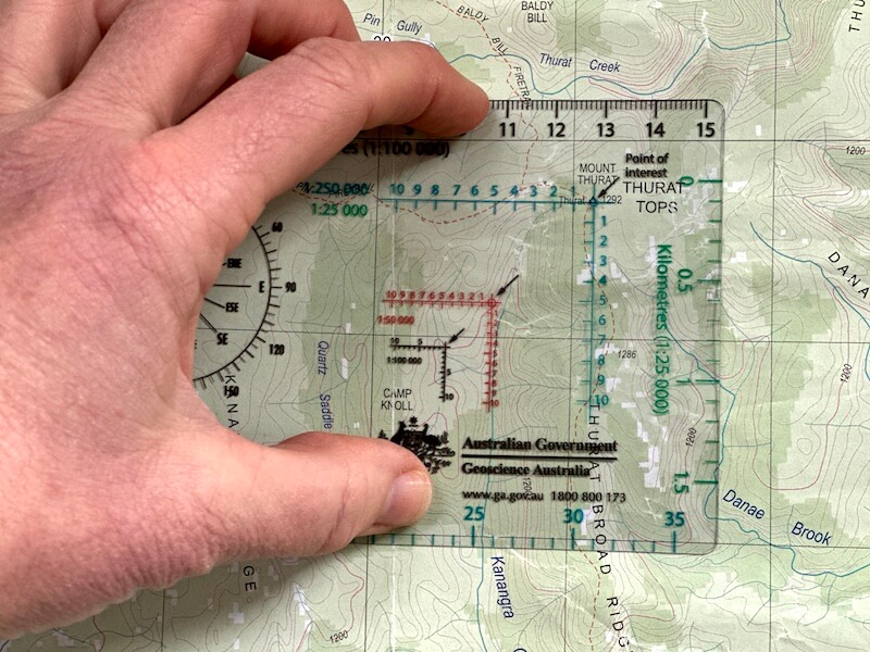
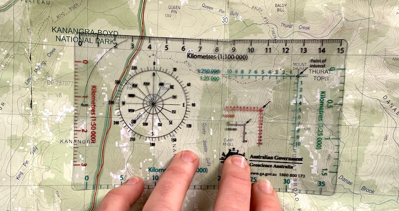
A romer is a navigational tool used for accurately determining grid references on a map. It's a transparent plastic card with markings that align with map scales and grid lines, allowing you to pinpoint precise locations on a map.
This official Geoscience Australia romer has scales in 1:25,000, 1:50,000, 1:100,000 and 1:250,000.
It also includes a protractor for measuring angles which is handy when double checking your compass bearing. My video below explains how.

In stock
Ron Dunford (verified owner) –
Peter M. (verified owner) –
First class romer. Very happy indeed. Delivery was very quick too.
Caro Ryan (store manager) –
Great to hear
Peter (verified owner) –
Peter W. (verified owner) –
Great product and delivered promptly
Caro Ryan (store manager) –
Thanks Peter!
Qynn (verified owner) –
Grant Pingo (verified owner) –
Jarrah Keenan (verified owner) –
exactly what I needed! good price and fast delivery
Caro Ryan (store manager) –
Ticking all the boxes, Jarrah! Thanks for letting me know.
Desmond R. (verified owner) –
A tool I’ve never had before!
Kieran Hosty (verified owner) –
Perfect for what we wanted.
Caro Ryan (store manager) –
Good to hear. Makes taking grid references easier and more accurate.
Adam (verified owner) –
High quality detailed book and compass lanyard / Scale. Arrived very quick as well , I’m happy with the product. It is worth the purchase!
Samuel (verified owner) –